


General map of the Old Italy. Europe. 1866.
Similar Sale History


Recommended Items


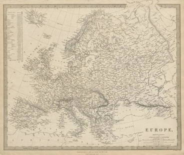
![Europe after the Congress of Vienna. 4 sheets. 128x106cm. THOMSON 1817 old map: TITLE/CONTENT OF MAP: A map of Europe, with the political divisions after the Peace of Paris and Congress of Vienna [4 sheets] This very large map, printed on 4 sheets, shows a re-aligned Europe after](https://p1.liveauctioneers.com/5584/326140/175576963_1_x.jpg?height=310&quality=70&version=1713288521)


Item Details
Description
Lithography titled, „General-Karte des Alten Italiens“.Engraved by Erhard Schieble.From „Geschichte Julius Cäsars. Atlas (Karten um weiten Theil), published by Carl Gerold‘s Sohn, in Wien, 1866.Notes: Tafel. 2.Italy officially the Italian Republic is a unitary parliamentary republic in Southern Europe. To the north, Italy borders France, Switzerland, Austria, and Slovenia, and is roughly delimited by the Alpine watershed, enclosing the Po Valley and the Venetian Plain. To the south, it consists of the entirety of the Italian Peninsula and the two biggest Mediterranean islands of Sicily and Sardinia, in addition to many other smaller islands. After the development of the Nuragic, Etruscan and Magna Graecia cultures among others, Italy's capital and largest comune, Rome, has for centuries been the leading political and religious centre of Western civilisation, serving as the capital of both the Roman Empire and Christianity. During the Dark Ages, Italy endured cultural and social decline in the face of repeated invasions by Germanic tribes, Byzantines, Muslims and Normans, with Greco-Roman heritage being preserved largely by Christian monks. Beginning around the 11th century, various Italian cities, communes and maritime republics rose to great prosperity through shipping, commerce and banking (indeed, modern capitalism has its roots in Medieval Italy); concurrently, Italian culture flourished, especially during the Renaissance, which produced many notable scholars, artists, and polymaths such as Leonardo da Vinci, Galileo, Michelangelo and Machiavelli. Meanwhile, Italian explorers such as Polo, Columbus, Vespucci, and Verrazzano discovered new routes to the Far East and the New World, helping to usher in the European Age of Discovery. Nevertheless, Italy would remain fragmented into many warring states for the rest of the Middle Ages, subsequently falling prey to larger European powers such as the Holy Roman Empire, France, Spain, and later Austria. Italy would thus enter a long period of decline that lasted until the beginning of the 18th century.Approx. image size 42, 3 x 27, 3/52, 3 x 35, 8 cm.
Condition
Condition: good.
Buyer's Premium
- 0%
General map of the Old Italy. Europe. 1866.
Estimate €15 - €40
Get approved to bid.
Shipping & Pickup Options
Item located in Vilnius, ltSee Policy for Shipping
Payment

Related Searches
TOP