[Five Civil War Era Maps of Charleston and Mobile
Similar Sale History
View More Items in Militaria & War MemorabiliaRelated Militaria & War Memorabilia
More Items in Militaria & War Memorabilia
View MoreRecommended Collectibles
View More


Item Details
Description
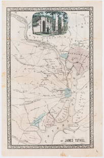
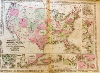
[Five Civil War Era Maps of Charleston and Mobile Bay], "Map of Charleston Harbor S.C.", nd., hand-colored lithograph by Bowen & Co., Phil.; "Charleston Harbor and Its Approaches Showing the positions of the Rebel Batteries", 1863, U.S. Coast Survey, colored lithograph by J.Bien, NY; "Charleston Harbor...Rebel Batteries"(larger format), 1863, colored lithograph by J. Bien, NY; "Entrance of Rear Admiral Farragut into Mobile Bay. August 5th 1864", hand-colored lithograph by A. Meisel, Boston; and "Defence of Fort Morgan By Brig. Genl. R.L. Page, August 1864", hand-colored lithograph by A. Meisel, Boston; sizes 13 1/4 in. x 16 1/2 in. to 26 1/4 in. x 26 1/2 in.. Provenance: Estate of Donald E. Pierce, Greenwood, MS and Santa Fe, NM
Buyer's Premium
- 25%
[Five Civil War Era Maps of Charleston and Mobile
Estimate $600 - $900
2 bidders are watching this item.
Shipping & Pickup Options
Item located in New Orleans, LA, usSee Policy for Shipping
Payment

Related Searches
TOP


![Civil War Era Military Discharge Document: A Civil War Era Discharge Document. Charleston, South Carolina, April 25, 1866. 1p. 4to. Printed document with manuscript. Discharging John Alford, Corporal, Company J, 2nd. Regiment, U.S. Col[ored] T](https://p1.liveauctioneers.com/881/235762/121988836_1_x.jpg?height=310&quality=70&version=1643408365)


![George Washington Signed Discharge: Partly printed discharge document signed by George Washington, as Commander in Chief of the Armies of the United States. Newburgh, [New York], 4 January 1783. 1 page, ## x ## in. Undersigned by Washin](https://p1.liveauctioneers.com/7226/322253/173251475_1_x.jpg?height=310&quality=70&version=1710004847)
![[Ambrotype] Texas Confederate Soldier: Sixth plate ambrotype. Full leatherette case. Portrait of a possible Texas Confederate soldier. A silver star device was used to pin up the brim of his light-toned headgear, a look often seen in image](https://p1.liveauctioneers.com/7226/322253/173251509_1_x.jpg?height=310&quality=70&version=1710004847)

![[CIVIL WAR] 1st Texas Infantry in Camp: Outdoor half plate ambrotype of the 1st Texas Infantry. Full leatherette case. Significant, large half plate ambrotype of members of the 1st Texas Infantry at ‘Splinterville,’ the regiment’s win](https://p1.liveauctioneers.com/7226/322253/173251512_1_x.jpg?height=310&quality=70&version=1710004847)
![Captured Bowie Knife w/ Period Note of Provenance: Captured Confederate D-hilt Bowie knife. [Kenansville, North Carolina]: [Louis Froelich factory]. With original metal and leather sheath with affixed period notes. First note with only remnants. Secon](https://p1.liveauctioneers.com/7226/325455/175169154_1_x.jpg?height=310&quality=70&version=1712370394)
![[CIVIL WAR] Black Soldier & Wife: CDV-sized tintype photograph WITH gem-sized tintype. Full thermoplastic case. Portrait of an unknown African American Civil War soldier who holds the rank of sergeant. He looks directly at the camera](https://p1.liveauctioneers.com/7226/322253/173251671_1_x.jpg?height=310&quality=70&version=1710004847)
![Historic Einstein Signed Program from Lincoln University Visit: Conferences on Objectives. Lincoln University, [Oxford], Pennsylvania, 3 May 1946. SIGNED BY ALBERT EINSTEIN. Tipped into Horace Mann Bond (1904-1972). The Education of the Negro in the American Socia](https://p1.liveauctioneers.com/7226/322253/173251693_1_x.jpg?height=310&quality=70&version=1710004847)
![[Civil War] Bullet Which Nearly Killed Soldier: Lead bullet encased in gold acorn fob with chain. Finely engraved: "W.D. Fiske / 14th Regt. C V / Fredericksburg / Dec 17, 1863." Acorn approx. 1 1/2 x 1 in. Overall length 6 1/2 in. Published in "Her](https://p1.liveauctioneers.com/7226/325455/175169103_1_x.jpg?height=310&quality=70&version=1712370394)

![[HANCOCK, John] Washington’s Spy, Officer’s Commission: Partly printed document signed by John Hancock as President of the Continental Congress, for Epaphras Bull (1748-1781). [Philadelphia, Pennsylvania], 10 January 1777. 1 page, ## x ## in. Completed in](https://p1.liveauctioneers.com/7226/322253/173251471_1_x.jpg?height=310&quality=70&version=1710004847)


