


Hooghe (Romain de) - Carte Maritime des Environs de
Similar Sale History
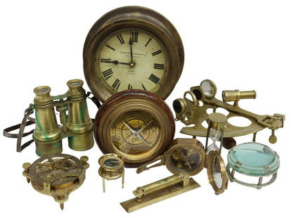
View More Items in Compasses


Related Compasses


More Items in Compasses
View More


Recommended Scientific & Medical Objects
View More


![Binoculars Captured by Forrest's Cavalry, 1st Murfreesboro: Confederate Captured Union binoculars. Inscription etched into enamel: "July 13 1862 / Tak[en at] Murfrees / boro [Tenn by] / Forrest / J.L.Watkins". Provenance: Tennessee collection. A pair of Federa](https://p1.liveauctioneers.com/7226/325455/175169145_1_x.jpg?height=310&quality=70&version=1712370394)


Item Details
Description
coastal chart with inset views of Dieppe and Rouen, upper and lower right corners, rhum lines, compass rose and ships, engraved map with hand-colouring, 600 x 4580mm., Amsterdam, Pierre Mortier, 1693; with I. Carte Particuliere des Costes de Normandie, coastal chart from Bayeux to Dieppe and the Seine to Pont de l'Arche, rhum lines and compass roses, engraved chart with original hand-colouring, on 2 sheets, joined, 590 x 860mm., some offsetting and rolling creases, [Amsterdam, Pierre Mortier], [1693] (2)
Buyer's Premium
- 25% up to £150,000.00
- 19% above £150,000.00
Hooghe (Romain de) - Carte Maritime des Environs de
Estimate £300 - £500
Shipping & Pickup Options
Item located in Mayfair, London, ukSee Policy for Shipping
Payment

TOP