


Done
New York, NY, United States
Auction Details
Antiquarian Maps of the Western Hemisphere
Explore both land and sea with this array of Western Hemisphere maps. With this focused yet diverse auction, discover a view of California state from 1853 or a RailRoad map from 1875 ! Not only will these maps serve as decorative pieces, but they also will reveal innumerable ways to view our world.
Auction Curator:
Steve Kovacs
Maps ExpertLot Number: Lowest
24
Sold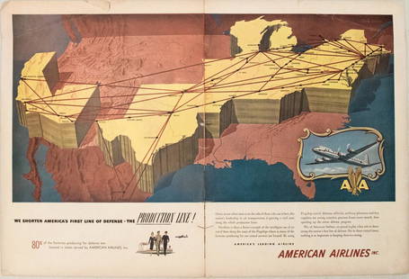
0150: 1950s American Airlines Route Map -- American Airlines Route MapEst. $40-$50
See Sold Price

0151: Coast Chart No.10 Boston Bay and Approaches | Coast Charts No.10 & 11 Massachusetts Bay With theEst. $250-$300Lot Passed
Sold
0152: Rand, McNally & Co.'S Indexed County and Township Pocket Map And Shippers' Guide of Maryland AndEst. $110-$150
See Sold Price

View:
24
Auction Details

Bid Increments
PriceBid Increment
$0$1
$10$5
$100$10
$200$20
$500$50
$1,000$100
$2,000$200
$5,000$500
$10,000$1,000
$20,000$2,000
TOP