


Done
New York, NY, United States
Auction Details
Pre-1800s Antiquarian Maps Auction
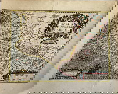
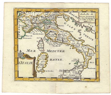
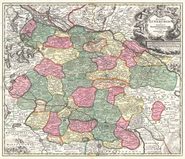
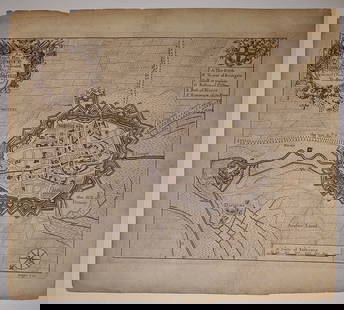
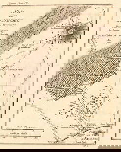
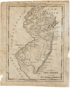
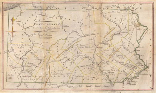
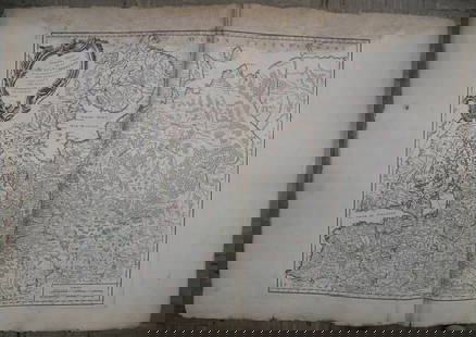
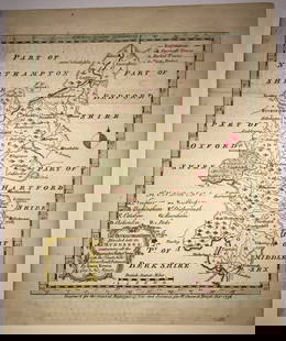
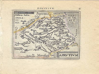
Explore both land and sea with this array of maps, which preserves the geography of nearly every region imaginable. Unlike modern maps, these original engravings trace borders as they evolved throughout history. Discover centuries-old views of every corner of the world or a rare map of Greece from the 1770s! Not only will these maps serve as decorative pieces, but they also will reveal innumerable ways to view our world.
Auction Curator:
Steve Kovacs
Maps ExpertLot Number: Lowest
24
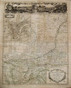
0001: 1760 Maire/Leclerk Map of Eastern Belgium and Liege -- Carte De La Principaute De Liege Et De SesEst. $500-$600Lot Passed
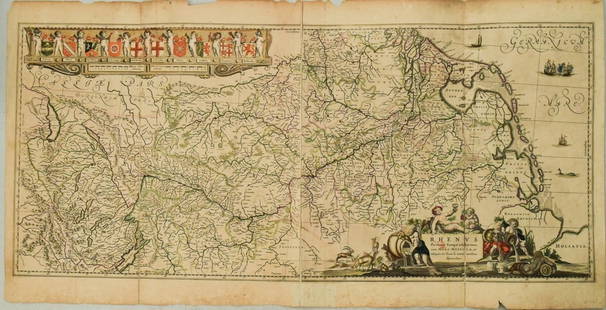
0002: 1636 Jansson Map of the Course of the Rhine River -- Rhenus Fluviorum Europae CeleberrimusEst. $500-$600Lot Passed
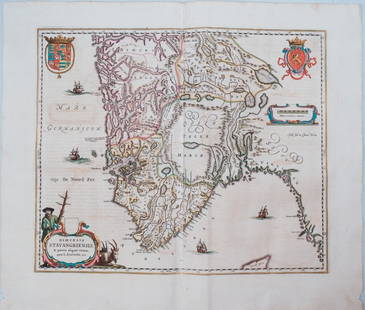
0004: 1659 Blaeu Map of Southern Norway -- Dioecesis Stavangriensis, & Partes Aliquot Vicinae, Opera L.Est. $300-$350Lot Passed


0010: 1756 Mexican port of Zihuatanejo, also known as Chequetan or Seguatanco, was depicted by the EnglishEst. $110-$150Lot Passed
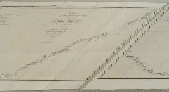
0012: 1773 Cook Chart of New South Wales Australia -- A Chart of New South Wales, or the East Coast ofEst. $1,100-$1,500Lot Passed


View:
24
Auction Details

Bid Increments
PriceBid Increment
$0$1
$10$5
$100$10
$200$20
$500$50
$1,000$100
$2,000$200
$5,000$500
$10,000$1,000
$20,000$2,000
TOP