


Done
New York, NY, United States
Auction Details
16th-20th Century Antiquarian Maps
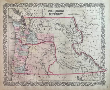
Explore both land and sea with this array of maps, which preserves the geography of nearly every region imaginable. Unlike modern maps, these original engravings trace borders as they evolved throughout history. Discover centuries-old views of every corner of America or a map of Portugal and parts of Spain from 1645! Not only will these maps serve as decorative pieces, but they also will reveal innumerable ways to view our world.
Auction Curator:
Steve Kovacs
Maps ExpertLot Number: Lowest
24

0001: 1854 Black / Humboldt Chart of Changes in Vegetation / Plant Life with Increased Elevation --Est. $200-$250Lot Passed


0003: 1934 Greyhound Pictorial Map of the US -- A Good Natured Map of the United States Setting Forth theEst. $200-$250Lot Passed


0006: 1867 Beers Map of New York City Area -- Map of New York and Vicinity Accompanying "Atlas of New YorkEst. $300-$350Lot Passed


0010: 1552 Munster Map of Central Germany along the Rhein -- Secunda Rheni et IX Nova TabulaEst. $200-$250Lot Passed
Sold
0011: 1886 Cram Comparison of Tall Buildings Globally -- Diagram of the Principal High Buildings of theEst. $120-$150
See Sold Price


Sold
0015: 1856 World Map on Polar Projection with Antarctica Explorations by MitchellEst. $40-$50
See Sold Price


View:
24
Auction Details

Bid Increments
PriceBid Increment
$0$1
$10$5
$100$10
$200$20
$500$50
$1,000$100
$2,000$200
$5,000$500
$10,000$1,000
$20,000$2,000
TOP