


1867Map of Egypt & Germany in Antiquity, William Hughes
Similar Sale History
View More Items in Maps & Atlases


Related Maps & Atlases


More Items in Maps & Atlases
View More
![[Maps] Gio. Ant. Magnini, Italia, 1620: [Maps] Gio. Ant. Magnini, Italia, 1620, Giovanni Antonio Magnini. Italia, data in luce da Fabio suo figliuolo al Serenissimo Ferdinado Gonzaga Duca di Matoua edi Monserrato etc. Bologna, for Sebastian](https://p1.liveauctioneers.com/188/326797/176317457_1_x.jpg?height=310&quality=70&version=1713847031)
![[Maps] Martin Zeiler, Itinerarium Italiae, 1640: [Maps] Martin Zeiler, Itinerarium Italiae, 1640, Martini Zeilleri. Itinerarium Italiae Nov-Antiquae: oder, Raiss-Beschreibung durch Italien, Matthaus Merian, Frankfurt, 40 plates, most double-page, in](https://p1.liveauctioneers.com/188/326797/176317459_1_x.jpg?height=310&quality=70&version=1713847031)


![[MAP]. TODESCHI, Pietro. [Nova et Acurata Totius Americae Tabula auct. G.I. Blaeu] America quarta: [MAP]. TODESCHI, Pietro. [Nova et Acurata Totius Americae Tabula auct. G.I. Blaeu] America quarta pars orbis quam plerunq, nuvum orbem appellitant primo detecta est anno 1492 a Christophoro Columbo...](https://p1.liveauctioneers.com/197/329395/177650542_1_x.jpg?height=310&quality=70&version=1715364962)


Recommended Transportation & Travel Collectibles
View More


Item Details
Description
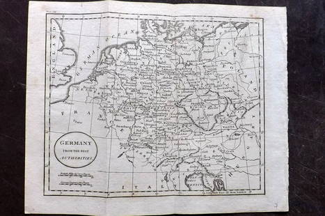
Antique 1867 Map of Egypt and Germany in Antiquity by prominent English cartographer / engraver William Hughes (c. 1818 - 1876) | Sheet contains 2 maps entitled: Arabia Petraea and Part of Egypt including the Delta and Germania Magna with the Provinces on the Upper Danube | Professionally Matted / Encased | Approx. Size: Sheet: 13" H x 10" W (33.02 x 25.4 cm); with Matting:16" H x 12" W | From Sheldon and Company, An Atlas of Classical Geography constructed by William Hughes and edited by George Long, (New York), 1867.
Buyer's Premium
- 25%
1867Map of Egypt & Germany in Antiquity, William Hughes
Estimate $100 - $150
4 bidders are watching this item.
Shipping & Pickup Options
Item located in Gallatin (Nashville), TN, usOffers In-House Shipping
Payment

TOP