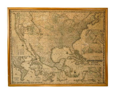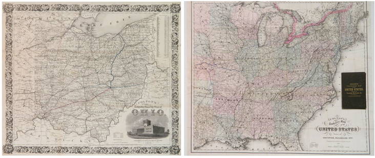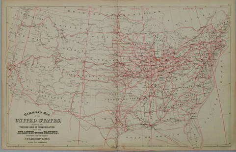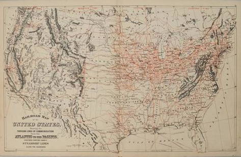
Colton Railroad and County Map United States 1878
Similar Sale History
View More Items in Maps & AtlasesRelated Maps & Atlases
More Items in Maps & Atlases
View MoreRecommended Transportation & Travel Collectibles
View More


Item Details
Description
Colton, after G. W., Colton's Railroad and County Map of the United States, The Canadas, &c, 1878, antique map on paper, folded as originally issued, 33 x 42 inches, in a wood frame 36.5 x 47.5 inches, hand-colored, includes parts of Montana, Wyoming, Colorado, as well as Public Lands and Indian Territory (later known as Oklahoma), as well as insets on the right of southern Florida and the Proposed Railroad Routes to the Pacific Ocean. This map was issued bound-in to cloth boards, and the original boards are present and housed in an envelope attached to the back of the frame.
Condition
Good condition, light toned, few small punctures to the right side (Florida inset and around Boston), not examined outside of frame. Merchandise will be packed and transported by the purchaser at their own risk and expense. A current list of shippers is listed on our website www.conceptgallery.com under “Auctions” / “Shipping” tab.
Buyer's Premium
- 25%
Colton Railroad and County Map United States 1878
Estimate $200 - $400
16 bidders are watching this item.
Shipping & Pickup Options
Item located in Pittsburgh, PA, usSee Policy for Shipping
Local Pickup Available
Payment
Accepts seamless payments through LiveAuctioneers

Related Searches
TOP


![1852 CROTONS MAP OF THE UNITED STATES & CANADAS: COLTON, J[oseph] H[utchins]. Colton’s Map of the United States & Canadas. Routes are by Railroads, Stage-Roads, and Canals. Lithograph map with original color. Original red cover with gold gilt lett](https://p1.liveauctioneers.com/4597/97465/50069280_1_x.jpg?height=310&quality=70&version=1482846039)


![Railroad Map of the United States: [America, East Coast] Ensign, Bridgman and Fanning's Railroad Map of the United States showing the Depots & Stations. Engraved map with original hand color. Engraved by W. S. Barnard. New York, 1856.](https://p1.liveauctioneers.com/1968/203922/103366115_1_x.jpg?height=310&quality=70&version=1620913733)


![[Maps] Martin Zeiler, Itinerarium Italiae, 1640: [Maps] Martin Zeiler, Itinerarium Italiae, 1640, Martini Zeilleri. Itinerarium Italiae Nov-Antiquae: oder, Raiss-Beschreibung durch Italien, Matthaus Merian, Frankfurt, 40 plates, most double-page, in](https://p1.liveauctioneers.com/188/326797/176317459_1_x.jpg?height=310&quality=70&version=1713847031)


