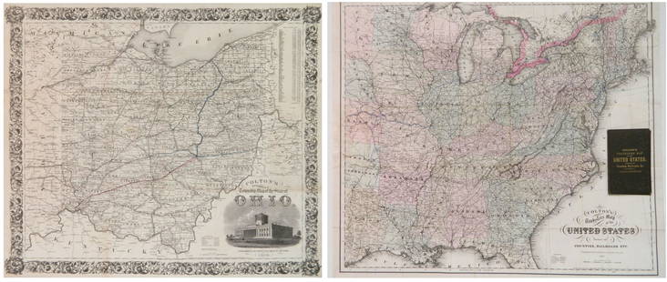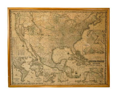
Colton's Folding Map of Illinois, 1856
Similar Sale History
View More Items in Maps & AtlasesRelated Maps & Atlases
More Items in Maps & Atlases
View MoreRecommended Transportation & Travel Collectibles
View More


Item Details
Description
COLTON, Joseph Hutchins, (1800-1893).
Illinois.
Lithographed map with original hand color.
New York: J.H. Colton, 1856.
16 3/4" x 13 1/2" sheet.
Fine folding lithographed pocket map on bank note paper with original hand-colour in full, with an inset of Chicago lower left, and a key lower right (short closed tear near mount). Original red cloth, gilt (head and foot of the spine frayed).
First published in this format, with the inset of Chicago, in 1855, by which time Chicago had become the state's capital and transport hub, linking the western counties to Lake Michigan with via an extensive rail network. From the early 1820s Illinois was one of the few states that discouraged slavery. As the birthplace of President Abraham Lincoln, the state was one of the earliest to show their support for the Civil War with the southern states.72map123
Buyer's Premium
- 25%
Colton's Folding Map of Illinois, 1856
Estimate $500 - $800
1 bidder is watching this item.
Get approved to bid.
Shipping & Pickup Options
Item located in New York, NY, usOffers In-House Shipping
Local Pickup Available
Payment

TOP


![[Maps] Gio. Ant. Magnini, Italia, 1620: [Maps] Gio. Ant. Magnini, Italia, 1620, Giovanni Antonio Magnini. Italia, data in luce da Fabio suo figliuolo al Serenissimo Ferdinado Gonzaga Duca di Matoua edi Monserrato etc. Bologna, for Sebastian](https://p1.liveauctioneers.com/188/326797/176317457_1_x.jpg?height=310&quality=70&version=1713847031)
![[Maps] Martin Zeiler, Itinerarium Italiae, 1640: [Maps] Martin Zeiler, Itinerarium Italiae, 1640, Martini Zeilleri. Itinerarium Italiae Nov-Antiquae: oder, Raiss-Beschreibung durch Italien, Matthaus Merian, Frankfurt, 40 plates, most double-page, in](https://p1.liveauctioneers.com/188/326797/176317459_1_x.jpg?height=310&quality=70&version=1713847031)


![[MAP]. TODESCHI, Pietro. [Nova et Acurata Totius Americae Tabula auct. G.I. Blaeu] America quarta: [MAP]. TODESCHI, Pietro. [Nova et Acurata Totius Americae Tabula auct. G.I. Blaeu] America quarta pars orbis quam plerunq, nuvum orbem appellitant primo detecta est anno 1492 a Christophoro Columbo...](https://p1.liveauctioneers.com/197/329395/177650542_1_x.jpg?height=310&quality=70&version=1715364962)


