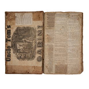
Colton's Texas, 1861
Similar Sale History
View More Items in BooksRelated Books
More Items in Books
View MoreRecommended Books, Magazines & Papers
View More


Item Details
Description
COLTON, Joseph Hutchins (1800 - 1893).
Colton's Texas.
Lithographed map
New York: J.H. Colton, 1861.
Provenance: early pencilled annotations to verso.
VERY RARE: we can only find four copies of this issue and they are all in Texas. Apparently there is not a copy in the Library of Congress. First edition of Colton's map of Texas to show the information discovered by Charles W. Pressler which he first published in his celebrated map of 1858, and was not published by him again until 1862, with a pocket edition first being issued in 1879. "The accuracy of Pressler's map was a major improvement in presenting Texas geography, particularly in the western areas of the state where errors and guesswork had been common. Pressler emphasized the emerging political entities within the state, as well as accurately depicting the rivers, streams, and developing road system within the state" (Martin & Martin 46). "The 1861 Colton map of Texas is an exceptionally rare and geographically/planimetrically ground-breaking and progressive map from Colton's Texas sequence. Notably, while it does not 'clone' Pressler's geographic detail, it is the first Colton Texas map to extensively embrace many of the important features of Pressler's work - this is particularly evident in the West and Northwest regions of the state. however, one will notice that in some areas certain 'Cordovian' details persist (ie certain county boundaries, road patterns, etc.), and indeed there might be some isolated influences from other maps as well. So like the 1861 Richardson, the 1861 Colton is a melange that means that it is its own thing" (Alexander Johnson). In 1855 Jacob de Cordova had sold the rights to his important 1849 map of Texas to Colton, and Colton published that map in large format from 1855 to 1861. The copyright notice lower left clearly states that the present map was "Entered According to Act of Congress, in the Year 1855, by J.H. Colton & Co. in the Clerk's Office of the District Court of the United States, for the Southern District of New York". In all actuality this probably refers to Colton's map based on Cordova's, as entering a map based on Pressler's information at that date would have been impossible. In 1861 America was in the throws of Civil War and the Union Navy began a massive effort to blockade the Southern coast to prevent the movement of trade goods, supplies, and arms in and out of the Confederacy. In July, the U.S.S. South Carolina arrived off the coast of Galveston to begin the Union blockade in Texas. See Martin & Martin 39 and 46. 72map122
Buyer's Premium
- 25%
Colton's Texas, 1861
Estimate $4,000 - $7,000
4 bidders are watching this item.
Get approved to bid.
Shipping & Pickup Options
Item located in New York, NY, usOffers In-House Shipping
Local Pickup Available
Payment

Related Searches
TOP


![19 issues of rare Gay Magazine METRA 1985-1986: [Queer interest], Metra: Midwest America's Leading Free Gay Magazine, 19 issues, published 1986-1987, a few duplicates, softcover, staplebound wraps, illustrated throughout in black and white, publish](https://p1.liveauctioneers.com/184/328649/177016396_1_x.jpg?height=310&quality=70&version=1714770323)


