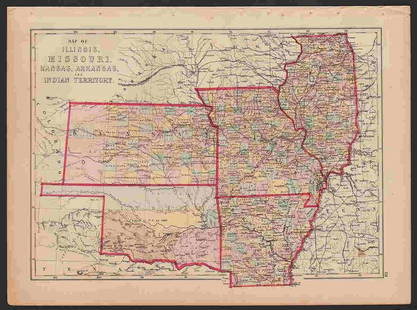
MAP: MOUNT SCOTT - FORT SILL, OKLAHOMA/ COMANCHE COUNTY 1949
Similar Sale History
View More Items in Maps & AtlasesRelated Maps & Atlases
More Items in Maps & Atlases
View MoreRecommended Transportation & Travel Collectibles
View More


Item Details
Description
Description: MOUNT SCOTT - FORT SILL, OKLAHOMA/ COMANCHE COUNTY 1949. Prepared by the army map Army Map Service (AM), Corps of Engineers, US Army, Washington D.C. Compiled in 1949.Material: PaperMeasurement approximate: 30 x 22
Condition
Good
Buyer's Premium
- 20%
MAP: MOUNT SCOTT - FORT SILL, OKLAHOMA/ COMANCHE COUNTY 1949
Estimate $100 - $200
2 bidders are watching this item.
Shipping & Pickup Options
Item located in Islip, NY, usShip with LiveAuctioneers
Arrange Your Own Shipping
Payment
Accepts seamless payments through LiveAuctioneers

Related Searches
TOP


![Cornwall.- Speed (John) Cornwall, engraved map, [c. 1676].: Speed (John) Cornwall, county map with inset view of Launceston, vignettes with stone monuments, armorial cartouche, ships and sea monsters, with coats-of-arms below, engraved map by Jodocus Hondius w](https://p1.liveauctioneers.com/5458/268810/140590910_1_x.jpg?height=310&quality=70&version=1668514381)


