


Authentic 1888 Railroad map of Colorado from Geo. F. Cram
Similar Sale History
View More Items in Maps & Atlases


Related Maps & Atlases


More Items in Maps & Atlases
View More


Recommended Transportation & Travel Collectibles
View More


Item Details
Description
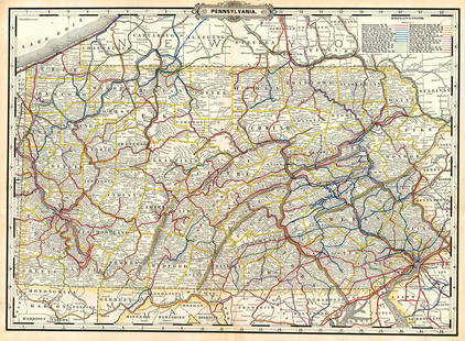
Painstaking delineation of topography in this really nice map of Colorado. Shows and names each line of the rail system in place at this time. Locates towns, rivers, springs, forts, military reservations, plateaus, peaks and other mountain features. One small, light spot at bottom edge in the margin. Nice, clean and sound map with no major faults. 9.5 x 12.25Reserve: $40.00Shipping:Domestic: Flat-rate of $5.00 to anywhere within the contiguous U.S.International: Foreign shipping rates are determined by destination. International shipping may be subject to VAT.Combined shipping: Please ask about combined shipping for multiple lots before bidding.Location: This item ships from Ohio.Your purchase is protected:Photos, descriptions, and estimates were prepared with the utmost care by a fully certified expert and appraiser. All items in this sale are guaranteed authentic.In the rare event that the item did not conform to the lot description in the sale, Jasper52 specialists are here to help. Buyers may return the item for a full refund provided you notify Jasper52 within 5 days of receiving the item.
Condition
Very good plus
Buyer's Premium
- 15%
Authentic 1888 Railroad map of Colorado from Geo. F. Cram
Estimate $50 - $60
Shipping & Pickup Options
Item located in Ohio, US$5 shipping in the US
Payment
Accepts seamless payments through LiveAuctioneers
See More Items From This Jasper52 Seller

Related Searches
TOP