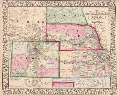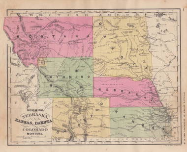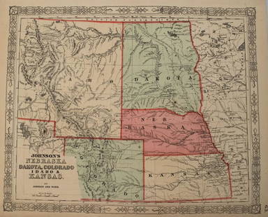
Antique Map of Kansas Nebraska Colorado and Dakota
Similar Sale History
View More Items in Maps & AtlasesRelated Maps & Atlases
More Items in Maps & Atlases
View MoreRecommended Transportation & Travel Collectibles
View More


Item Details
Description
MEDIUM: Commercially Printed on Paper
DIMENSIONS:14 x 11.5 inches
CIRCA: 1861
ATTRIBUTION: Augustus Mitchell
DESCRIPTION: This antique, Civil War vintage map of the far west graphically illustrates the far western states. The geographic illustration is bordered and color tinted add visual interest. The map has been set into an antique oak frame.
CONDITION: Very Good Original Condition
Weight
8 lb
Buyer's Premium
- 23% up to $50,000.00
- 20% above $50,000.00
Antique Map of Kansas Nebraska Colorado and Dakota
Estimate $200 - $300
2 bidders are watching this item.
Shipping & Pickup Options
Item located in Wichita, KS, us$55 shipping in the US
Local Pickup Available
Payment
Accepts seamless payments through LiveAuctioneers

Auction Curated By

Appraiser specializing in Antiques, Fine Art and Collectibles
TOP


![Antique Map of Scotland: [Antique Map of Scotland] "A New and Correct Map of Scotland or North Britain. with all the Post and Military roads, divisions & ca. Drawn from the most approved surveys, Illustrated with many additio](https://p1.liveauctioneers.com/268/328386/176967773_1_x.jpg?height=310&quality=70&version=1714748870)


![[Maps] Gio. Ant. Magnini, Italia, 1620: [Maps] Gio. Ant. Magnini, Italia, 1620, Giovanni Antonio Magnini. Italia, data in luce da Fabio suo figliuolo al Serenissimo Ferdinado Gonzaga Duca di Matoua edi Monserrato etc. Bologna, for Sebastian](https://p1.liveauctioneers.com/188/326797/176317457_1_x.jpg?height=310&quality=70&version=1713847031)
![[Maps] Martin Zeiler, Itinerarium Italiae, 1640: [Maps] Martin Zeiler, Itinerarium Italiae, 1640, Martini Zeilleri. Itinerarium Italiae Nov-Antiquae: oder, Raiss-Beschreibung durch Italien, Matthaus Merian, Frankfurt, 40 plates, most double-page, in](https://p1.liveauctioneers.com/188/326797/176317459_1_x.jpg?height=310&quality=70&version=1713847031)


![[MAP]. TODESCHI, Pietro. [Nova et Acurata Totius Americae Tabula auct. G.I. Blaeu] America quarta: [MAP]. TODESCHI, Pietro. [Nova et Acurata Totius Americae Tabula auct. G.I. Blaeu] America quarta pars orbis quam plerunq, nuvum orbem appellitant primo detecta est anno 1492 a Christophoro Columbo...](https://p1.liveauctioneers.com/197/329395/177650542_1_x.jpg?height=310&quality=70&version=1715364962)


