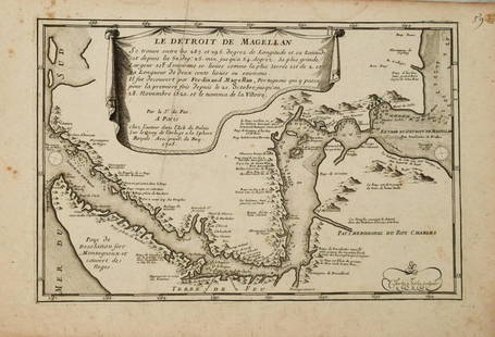
Nicholas de Fer, Map of California of 1705
Similar Sale History
View More Items in Maps & AtlasesRelated Maps & Atlases
More Items in Maps & Atlases
View MoreRecommended Transportation & Travel Collectibles
View More


Item Details
Description
Nicholas de Fer (1646-1720) Map of California of 1705 (Cette carte de Californie et du Nouveau Mexique, 1705); together with two other California related framed ephemera.
Assumed second state (1705) of De Fer?s Map of the Southwest Based Upon the Earliest Reports of Father Kino; one of the few regional maps to show California as an island; minimal hand coloring; printed and published by de Fer Paris: 1705. Together with a framed US Mail 1985 Junipero Serra commemorative postage stamp and postcard postmarked and dated the first day of issue: August 22, 1985; as well a framed reproduction of an early 20th century panoramic view of San Diego, California.
10 x 15in (26 x 38cm)
Provenance:
Property from the Estate of Walter Nelson, ASID, San Diego, California.
Condition
All items framed; largest 12 x 16 in.(31 x 41cm.) Map bears overall age toning especially at edges.
Buyer's Premium
- 30%
Nicholas de Fer, Map of California of 1705
Estimate $300 - $400
3 bidders are watching this item.
Shipping & Pickup Options
Item located in Los Angeles, CA, usShip with LiveAuctioneers
Local Pickup Available
Arrange Your Own Shipping
Payment
Accepts seamless payments through LiveAuctioneers

Related Searches
TOP


![Nicolas De Fer: Carte Generale du Globe Terrestre, 1705: Map: Carte Generale du Globe Terrestre et Aquatiques ou Mappemonde en Deux Plans-Hemisphere [Scarce 1705 antique map with California as an island] Maker: Nicolas De Fer Size: 8.125 x 11.125 (10.25 x 1](https://p1.liveauctioneers.com/5584/106187/54391534_1_x.jpg?height=310&quality=70&version=1499460562)


![De Fer Map of Italy, 1705: [Europe, Italy] DE FER, Nicolas (1646-1720). Routes des Postes D'Italie... Engraved map with full original color and minor manuscript annotations. Paris, c. 1705. 19" x 27" sheet. This unusual, large](https://p1.liveauctioneers.com/1968/216191/110783529_1_x.jpg?height=310&quality=70&version=1629990486)

![De Fer: Map of Barcelonne, Barcelona, 1705: Map: 'Barcelonne [Barcelona] Fortifed town/city plan' Date Printed: 1705 Image Size: Approx 19.0 x 31.5cm, 7.5 x 12.25 inches (Medium) Type: Early 18th century copperplate map Condition: Fair: A tear](https://p1.liveauctioneers.com/5584/102391/52309321_1_x.jpg?height=310&quality=70&version=1491597186)


![After De L'Ise's map of North America: [MAP-NORTH AMERICA] DE L'ISLE, GUILLAUME, after. L'Amerique Septentrionale Dressee sur les Observations de Mrs de l'Academie Royale des Sciences. Amsterdam: R.& J. Ottens, circa 1730 or later. Han](https://p1.liveauctioneers.com/292/326828/175962860_1_x.jpg?height=310&quality=70&version=1713473479)


