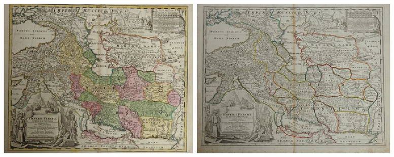
JOHANN BAPTIST HOMANN 1700'S SCANDINAVIA MAP
Similar Sale History
View More Items in Maps & Atlases![[MAP]. HOMANN, Johann Baptist (1663-1724). Virginia, Marylandia et Carolina in America: [MAP]. HOMANN, Johann Baptist (1663-1724). Virginia, Marylandia et Carolina in America Septentrionali. Nuremberg, [ca 1714]. Engraved map of the Mid-Atlantic with hand-coloring in wash and outl](https://p1.liveauctioneers.com/197/243556/126318973_1_x.jpg?height=310&quality=70&version=1649293172)
![[MAP]. HOMANN, Johann Baptist (1663-1724). Planiglobii Terrestris cum utroq Hemisphaerio: [MAP]. HOMANN, Johann Baptist (1663-1724). Planiglobii Terrestris cum utroq Hemisphaerio Caelesti… Nuremberg, [ca 1720]. Engraved double-hemisphere map of the world with hand-coloring in wash an](https://p1.liveauctioneers.com/197/284572/150193667_1_x.jpg?height=310&quality=70&version=1680880467)
Related Maps & Atlases
More Items in Maps & Atlases
View MoreRecommended Transportation & Travel Collectibles
View More


Item Details
Description
Extremely Rare Johann Baptist Homann Early 1700's Map of Scandinavia. Complectins Suci Daniae & Nor Vegiae Regna ex Tabula. A detailed J. B. Homann map of Scandinavia. Depicts both Denmark, Norway, Sweden, Finland and the Baltic states of Livonia, Latvia and Curlandia, Parts of Poland and Russia. The map notes fortified cities, villages, roads, bridges, forests, castles and topography. Beautiful title cartouche in the upper left quadrant features allegoric angels supporting a title curtain and a figual medallion with King's Crown and Lion. 20" x 23" Sight Size 29" x 32" Framed. Map in Excellent condition, slight stain to outer mat lower right margin, map unaffected.
Buyer's Premium
- 25%
JOHANN BAPTIST HOMANN 1700'S SCANDINAVIA MAP
Estimate $600 - $1,200
3 bidders are watching this item.
Get approved to bid.
Shipping & Pickup Options
Item located in ELLENVILLE, NY, usOffers In-House Shipping
Local Pickup Available
Payment
Accepts seamless payments through LiveAuctioneers

Related Searches
TOP


![[MAPS]. HOMANN, Johann Baptist (1663-1724). Four engraved continent maps with hand-coloring, each: [MAPS]. HOMANN, Johann Baptist (1663-1724). Four engraved continent maps with hand-coloring, each matted and framed, comprising: Totius Americae… Nuremberg, [ca 1720]. Overall sheet 508 x 590 mm](https://p1.liveauctioneers.com/197/284572/150193668_1_x.jpg?height=310&quality=70&version=1680880467)


![Homann's expansive map of North America: [MAP-NORTH AMERICA] HOMANN, JOHANN BAPTISTA.Regni Mexicani seu Novae Hispaniae Ludov](https://p1.liveauctioneers.com/292/326828/175962859_1_x.jpg?height=310&quality=70&version=1713473479)


![A Map of Sri Lanka, called Taprobana, from the 1486 Ulm Ptolemy: [MAP - SOUTHEAST ASIA] PTOLEMY, CLAUDIUS. Duodecima Asie Tabula. [Ulm: Johann Reger, 1486]. The sheet measures 16 x 22 1/2 (41 x 57.5 cm); Woodcut map, hand colored, printed text on verso](https://p1.liveauctioneers.com/292/326828/175962848_1_x.jpg?height=310&quality=70&version=1713473479)


