


Map of the Cherokee Nation cop. by R.L. McAlpine,
Similar Sale History
View More Items in Prints & Multiples


Related Prints & Multiples


More Items in Prints & Multiples
View More


Recommended Art
View More


Item Details
Description
Map of Cherokee Nation.U.S. Department of the Interior. Commission to the Five Civilized Tribes, 7th Annual Report, comp. by R.L. McAlpine,. Indian Territory, Col. Steel engraving. NY: Julius Bien & Co. Photo Lithograph, 1900
Dimenstions: 35" X 25"
Note: Exhibit no. 5 Includes agriculture land, rocky prairie, hilly and rocky land and mountain land.
Inv.154
Dimenstions: 35" X 25"
Note: Exhibit no. 5 Includes agriculture land, rocky prairie, hilly and rocky land and mountain land.
Inv.154
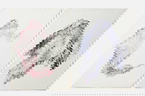
Condition
Some crease tears. carbon staining lower right corner. Please see photograph preview or call.
Buyer's Premium
- 20%
Map of the Cherokee Nation cop. by R.L. McAlpine,
Estimate $100 - $200
3 bidders are watching this item.
Shipping & Pickup Options
Item located in Pine Bush, NY, usSee Policy for Shipping
Payment

TOP