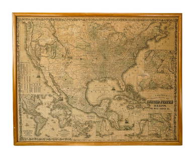
1857 Phelps pocket map of United States
Similar Sale History

Recommended Items


Item Details
Description
Phelps National Map of the United States, A Travellers Guide, Embracing the Principal Railroads, Canals, Steamboat & Stage Routes Throughout the Union, published by Ensign, Bridgman, Fanning, 1857. Fold out map with a margin surround of presidents and state logos. Inset book, ""Phelp's Travellers Guide through the United States, Containing Upward of Seven Hundred and Fifty Railroad, Canal, Stage, and Steamboat routes." Description of routes in the Northeast and South, as well as Iowa, Indiana, Ohio, and California with table distances between cities along the major rivers. Map 21" x 24 1/2", book 5 1/2" x 3 3/8. Circa 1857.
Condition
Morocco gilt stamped cover with minor scuffing to edges, toning to left margin of map affixed to back cover, couple of crease separations to fold bisecting the middle of map, colors vibrant.
Buyer's Premium
- 24%
1857 Phelps pocket map of United States
Estimate $400 - $450
5 bidders are watching this item.
Shipping & Pickup Options
Item located in Knoxville, TN, usSee Policy for Shipping
Payment

TOP


