Early Map of the American Southeast
Similar Sale History
Recommended Items


Item Details
Description
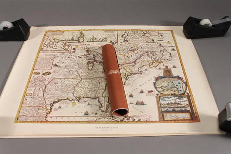
likely 17th century. entitled “Virginiae partis australis, et Floridae partis orientalis, interjacentiumqus regionum Nova Descriptio.” engraving by Jan Jansson after the circa 1638 work of Willem J. Blaeu. depicting the coastline from Virginia to Northern Florida, and featuring a cartouche with six natives. partially hand-colored. framed and matted. “Blaeu (1650), 132” is written in pencil at bottom. sight size: H17” W20 ½” Note: The Jansson edition is almost indistinguishable from Blaeu’s work, but one indicator is that Blaeu’s eastern-most longitude marking incorrectly reads “200”, while Jansson’s reads “300”. Later 18th century reprints of Jansson’s map by Valk and Schenk include latitude and longitude lines.
Buyer's Premium
- 23%
Early Map of the American Southeast
Estimate $500 - $800
9 bidders are watching this item.
Shipping & Pickup Options
Item located in Camden, SC, usSee Policy for Shipping
Payment

TOP


![[MAPS]. A group of 5 maps from an early American edition of...: [MAPS]. A group of 5 maps from an early American edition of the Encyclopedia Britannica. [Philadelphia: Thomas Dobson, ca. 1790s to 1810s]. Copperplate engraved maps. 8vos to an oblong 4to (visible ar](https://p1.liveauctioneers.com/928/265343/138522751_1_x.jpg?height=310&quality=70&version=1666130009)


