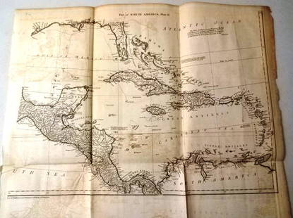
Monk wall map of North America 1854
Similar Sale History
Recommended Items


Item Details
Description
Author: Monk, Jacob
Title: New Map of that Portion of North America, Exhibiting the United States and Territories, the Canadas, New Brunswick, Nova Scotia, and Mexico, also Central America, and the West India Islands
Place Published: Baltimore
Publisher:
Date Published: 1854
Description:
Engraved wall map, hand-colored. 140x150 cm. (55x59"), backed with linen, on rollers.
Large wall map of the Unites States and Central America, with inset of the world on Mercator's projection, and many sailing ships on the oceans. The western U.S. is in flux - New Mexico encompasses present Arizona and some of Nevada, with the remainder of Nevada a part of Utah, which also claims much of Colorado; the rest of Colorado, as also Kansas and part of Wyoming, is part of "Territory of Nebraska as Proposed," to the north is an oversized Minnesota, and an unnamed Montana peopled by various tribes of Indians. Oregon and Washington each stretch east across present Idaho into Montana. The border with Mexico is in pre-Gadsden state. Wheat Transmississippi 794; Wheat Gold Region 243.
Condition
Buyer's Premium
- 23%
Monk wall map of North America 1854
Shipping & Pickup Options
Item located in San Francisco, CA, usPayment


![[Map] New Map North America 1855: Jacob Monk ,Baltimore; North America and Territories, Canada,Central America and West Indies, 57 x 62 in. Large Roll down map.](https://p1.liveauctioneers.com/523/85328/43939935_1_x.jpg?height=310&quality=70&version=1455914464)


![1761 NEW DICTIONARY OF TRADE & COMMERCE R. ROLT antique FOLIO ILLUSTRATED w/MAPS: A New Dictionary of Trade and Commerce... The Second edition [preface by Samuel Johnson] With the Addition of a New and Accurate Set of Maps... by Mr. Bowen. London: 1761 by Richard ROLT. Folio: 9.5 b](https://p1.liveauctioneers.com/5584/327967/176717236_1_x.jpg?height=310&quality=70&version=1714507672)

