
 Discovery- InteriorsBonhamsSponsored.Your ad here?


Discovery- Interiors
Bonhams
Sponsored.Your ad here?


 Discovery- InteriorsBonhamsSponsored.Your ad here?


Discovery- Interiors
Bonhams
Sponsored.Your ad here?

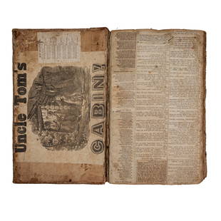
1807 William Guthrie French ATLAS Illustrated MAPS
Similar Sale History
View More Items in Books
Related Books
More Items in French Books
View MoreRecommended Books, Magazines & Papers
View More


Item Details
Description
1807 William Guthrie French ATLAS Illustrated MAPS Asia Africa France America
Originally translated into French in 1801, William Guthrie’s “Geographical, Historical and Commercial Grammar’, has been a popular and regularly referenced geography atlas since 1770; Guthrie died the same year he finished the work. This book includes folding maps that are often extracted from this atlas. It is quite rare to find them intact.
Item number: #592
Price: $499
GUTHRIE, William
Abrege de la nouvelle geographie universelle, descriptive, historique, industrielle et commerciale
A Paris : Chez Hyacinthe Langlois, 1807.
Details:
Collation complete with all pages: 723p
Illustrated with 10 folding plates
Binding: Leather; tight and secure
Language: French
Size: ~8in X 5in (20.5cm x 13cm)
Our Guarantee:
Very Fast. Very Safe. Free Shipping Worldwide.Customer satisfaction is our priority! Notify us with 7 days of receiving, and we will offer a full refund without reservation!
Condition
Excellent
Buyer's Premium
- 0%
1807 William Guthrie French ATLAS Illustrated MAPS
Estimate $500 - $1,000
7 bidders are watching this item.
Shipping & Pickup Options
Item located in Columbia, Mo, usSee Policy for Shipping
Payment

TOP


![[18th-century French red morocco binding]: DECORATIVE BINDING. [18th-century French red morocco binding]. Quarto. (9 3/4 x 7 1/4 inches). Gilt armorial stamped on covers, marbled endpapers. This beautiful red morocco binding, serving as a blot](https://p1.liveauctioneers.com/7533/205150/104410202_1_x.jpg?height=310&quality=70&version=1622217463)


