
HERMAN MOLL (ENGLISH, C. 1654 TO 1732) MAP OF EASTERN
Herman Moll Sale History
View Price Results for Herman MollRelated Maps & Atlases
More Items from Herman Moll
View MoreRecommended Transportation & Travel Collectibles
View More


Item Details
Description
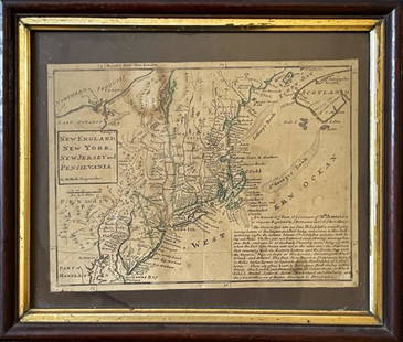
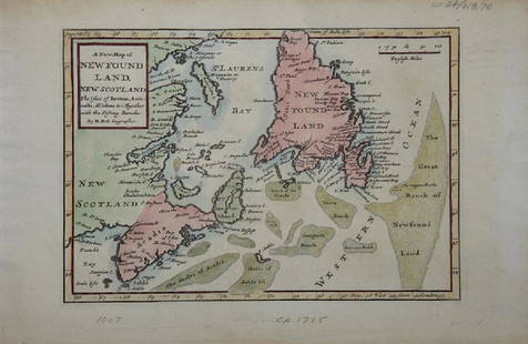
HERMAN MOLL (ENGLISH, C. 1654 TO 1732) MAP OF EASTERN NORTH AMERICA, hand-colored, on laid paper, title in rectangular cartouche to top center "A New and Exact MAP of the DOMINIONS / of the KING of GREAT BRITAIN / on ye Continent of NORTH AMERICA / Containing / NEWFOUNDLAND, NEW SCOTLAND, NEW ENG- / LAND, NEW YORK, NEW JERSEY, PENSILVANIA / MARYLAND, VIRGINIA, AND CAROLINA. / According to the Newest and most Exact Observations by / HERMAN MOLL Geographer", with central cartouche dedicating the map "To the Honourable / WALTER DOWGLASS, Esq.", and dated "1715", above four inset maps, including "A Map of the Improved Part of / CAROLINA / with the Settlement &c. / By Her. Moll, Geographer". Unframed, mounted to board. Circa 1715. 41 3/4" x 25 1/2" map, 46 3/4" x 30 1/8" OA.
Good visual condition overall, laid on board as described, expected toning, expected central fold-line, some staining, particularly two areas of tape residue to top and bottom margins, some losses to margins/edges.
Provenance: Property deaccessioned by the Colonial Williamsburg, Foundation, VA. All proceeds to benefit the Collections Acquisition Fund.
Condition
Good visual condition overall, laid on board as described, expected toning, expected central fold-line, some staining, particularly two areas of tape residue to top and bottom margins, some losses to margins/edges.
Buyer's Premium
- 24.5%
HERMAN MOLL (ENGLISH, C. 1654 TO 1732) MAP OF EASTERN
Estimate $800 - $1,200
12 bidders are watching this item.
Shipping & Pickup Options
Item located in Mt. Crawford, VA, usSee Policy for Shipping
Payment

TOP







![Coronelli Map of the Pacific Ocean: CORONELLI, Vincenzo Maria (1650-1718). [Pacific] Mare Del Sud... Engraved map. Venice, c.1691. 19" x 26 1/4" sheet. This splendid map of the Pacific Ocean shows most of the coastlines of the Americas](https://p1.liveauctioneers.com/1968/330639/178336624_1_x.jpg?height=310&quality=70&version=1716827770)


![1593 de Jode Maps of Eastern Germany (Saxony Area) and Western Germany -- Mansfeldiae Comitatus ...: Title: 1593 de Jode Maps of Eastern Germany (Saxony Area) and Western Germany -- Mansfeldiae Comitatus ... [on sheet with] Clivensis et Iuliacensis Ducatum Cartographer: G De Jode Year / Place: 1593,](https://p1.liveauctioneers.com/5584/330117/177981830_1_x.jpg?height=310&quality=70&version=1716324705)


![Moll, Herman: Moll, Herman [A Set of Thirty Six New and Correct Maps of Scotland Divided into Shires] [London: H. Moll, 1725]. 4to (23 x 18.5cm), later sheep-backed cloth, one leaf of descriptive text, 35 engraved](https://p1.liveauctioneers.com/94/330664/178342438_1_x.jpg?height=310&quality=70&version=1716466933)

![Moll, Herman: Moll, Herman A Set of Thirty Six New and Correct Maps of Scotland London: H. Moll…, [1725] 8vo, 36 double-page maps, contemporary quarter calf over boards, some repairs to guards and a little wo](https://p1.liveauctioneers.com/94/330664/178342425_1_x.jpg?height=310&quality=70&version=1716466933)


![[FLAGS]. 31-star American parade flag. Ca 1850-1859.: [FLAGS]. 31-star American parade flag. Ca 1850-1859. 22 x 36 1/2 in. cotton flag with 31 printed stars, configured in a double medallion surrounding a much larger central star, that is haloed in both](https://p1.liveauctioneers.com/197/329785/177758218_1_x.jpg?height=310&quality=70&version=1715625218)


