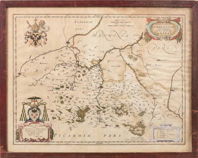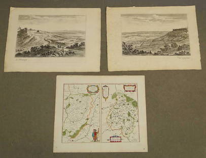
Map of ancient France by Blaeu
Similar Sale History
View More Items in Maps & AtlasesRelated Maps & Atlases
More Items in Maps & Atlases
View MoreRecommended Transportation & Travel Collectibles
View More


Item Details
Description
Heading:
Author: Blaeu, Willem
Title: Typus Galliae Veteris...
Place Published: Amsterdam
Publisher:
Date Published: c.1635
Description:
Author: Blaeu, Willem
Title: Typus Galliae Veteris...
Place Published: Amsterdam
Publisher:
Date Published: c.1635
Description:
Copper-engraved map, hand-colored in outline, colored decorative cartouche. 39.4x50.8 cm (15½x20").
Map of ancient France, based on the cartography of Abraham Ortelius, who is credited in the cartouche. Fully engraved with mountains, forests and ancient place names. Dutch text on verso. Neatly captioned in ink in English in lower margin, dating it erroneously 1500.
Condition
Remains of mounting tape on verso, else fine.
Buyer's Premium
- 25%
Map of ancient France by Blaeu
Estimate $200 - $300
5 bidders are watching this item.
Shipping & Pickup Options
Item located in San Francisco, CA, usSee Policy for Shipping
Payment

Related Searches
TOP


![[Maps] Gio. Ant. Magnini, Italia, 1620: [Maps] Gio. Ant. Magnini, Italia, 1620, Giovanni Antonio Magnini. Italia, data in luce da Fabio suo figliuolo al Serenissimo Ferdinado Gonzaga Duca di Matoua edi Monserrato etc. Bologna, for Sebastian](https://p1.liveauctioneers.com/188/326797/176317457_1_x.jpg?height=310&quality=70&version=1713847031)


