
 Discovery- InteriorsBonhamsSponsored.Your ad here?


Discovery- Interiors
Bonhams
Sponsored.Your ad here?


 Discovery- InteriorsBonhamsSponsored.Your ad here?


Discovery- Interiors
Bonhams
Sponsored.Your ad here?

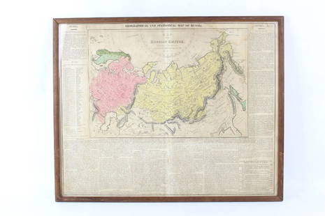
Pair of maps of Russian Empire, 1750
Similar Sale History
View More Items in Maps & AtlasesRelated Maps & Atlases
More Items in Maps & Atlases
View MoreRecommended Transportation & Travel Collectibles
View More


Item Details
Description
Heading:
Author: Robert de Vaugondy, Gilles and Didier
Title: Partie Occidentale de l'Empire de Russie, ou se trouve distinguee la Russie Europeenne... [together with] Partie Orientale de L'Empire de Russie en Asie...
Place Published: Paris
Publisher:
Date Published: 1750
Description:
Author: Robert de Vaugondy, Gilles and Didier
Title: Partie Occidentale de l'Empire de Russie, ou se trouve distinguee la Russie Europeenne... [together with] Partie Orientale de L'Empire de Russie en Asie...
Place Published: Paris
Publisher:
Date Published: 1750
Description:
Copper-engraved maps, hand colored in outline; uncolored decorative cartouches. Each approx. 47x59 cm (18½x23¼").
Detailed maps of the immense Russian Empire, from the Polish border to Kamchatka peninsula, and the Arctic Ocean to the Gobi Desert.
Condition
First paper with toning, a few short repaired tears; 2nd darkened a bit at centerfold and margins; very good.
Buyer's Premium
- 25%
Pair of maps of Russian Empire, 1750
Estimate $200 - $300
2 bidders are watching this item.
Shipping & Pickup Options
Item located in Berkeley, CA, usSee Policy for Shipping
Payment

Related Searches
TOP


![[Maps] Gio. Ant. Magnini, Italia, 1620: [Maps] Gio. Ant. Magnini, Italia, 1620, Giovanni Antonio Magnini. Italia, data in luce da Fabio suo figliuolo al Serenissimo Ferdinado Gonzaga Duca di Matoua edi Monserrato etc. Bologna, for Sebastian](https://p1.liveauctioneers.com/188/326797/176317457_1_x.jpg?height=310&quality=70&version=1713847031)


