


Antique Map: Germany (Deutschland)
Similar Sale History
View More Items in Maps & Atlases


![Walker, John 1815 Antique Map of Germany: Copper Plate Published 1815, London for "The Universal Gazetteer: Being a Concise Description" [Walker's Geography] by John Walker. Folds as issued. Paper Size: 10 x 8 inch (25 x 20cm) Minor toning/of](https://p1.liveauctioneers.com/3952/179417/90414987_1_x.jpg?height=310&quality=70&version=1600436726)


Related Maps & Atlases


![Home Waters. Blockade of Germany. Minefields. 1914. First World War. 1920 map: CAPTION PRINTED BELOW PICTURE: Home Waters [Blockade of Germany] DATE PRINTED: 1920 IMAGE SIZE: Approx 61.5 x 53.5cm, 24.25 x 21 inches (Large); Please note that this is a folding map. TYPE: Antique m](https://p1.liveauctioneers.com/5584/328641/177014357_1_x.jpg?height=310&quality=70&version=1715113718)


![Germaniae / Germania by Bertius / Langenes. Germany & Central Europe 1603 map: CAPTION PRINTED BELOW PICTURE: Descriptio Germaniae / Germania [Germany & Central Europe] DATE PRINTED: 1603 IMAGE SIZE: Approx 10.5 x 17.0cm, 4.25 x 6.5 inches (Small) TYPE: Antique copperplate map C](https://p1.liveauctioneers.com/5584/328641/177014405_1_x.jpg?height=310&quality=70&version=1715113718)

More Items in Maps & Atlases
View More


![[Maps] Gio. Ant. Magnini, Italia, 1620: [Maps] Gio. Ant. Magnini, Italia, 1620, Giovanni Antonio Magnini. Italia, data in luce da Fabio suo figliuolo al Serenissimo Ferdinado Gonzaga Duca di Matoua edi Monserrato etc. Bologna, for Sebastian](https://p1.liveauctioneers.com/188/326797/176317457_1_x.jpg?height=310&quality=70&version=1713847031)
![[Maps] Martin Zeiler, Itinerarium Italiae, 1640: [Maps] Martin Zeiler, Itinerarium Italiae, 1640, Martini Zeilleri. Itinerarium Italiae Nov-Antiquae: oder, Raiss-Beschreibung durch Italien, Matthaus Merian, Frankfurt, 40 plates, most double-page, in](https://p1.liveauctioneers.com/188/326797/176317459_1_x.jpg?height=310&quality=70&version=1713847031)


Recommended Transportation & Travel Collectibles
View More


Item Details
Description
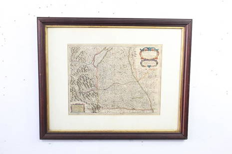
Description: Antique Map: Germany (Deutschland), Holstein, Hanover, Mecklenburg, the Prussian States, Saxony. Antique steel engraved map with original outline hand coloring. Date of printing: 1844. Cartography by Le Coq, Anton, Klein, Coulon; Engraved by J & C Walker. From: "Maps of the Society for the Diffusion of Useful Knowledge," published by Chapman & Hall, London, under the superintendance of the Society for the Diffusion of Useful Knowledge. Issues & wear reflective of age; small tear to top. Material: paper. Measurement: approximate 15.25" x 16" (INCHES). Shipping: $12; different rate to Alaska, California, Hawaii & all International.
Condition
Good
Buyer's Premium
- 0%
Antique Map: Germany (Deutschland)
Estimate $25 - $50
1 bidder is watching this item.
Shipping & Pickup Options
Item located in Bayshore, NY, usSee Policy for Shipping
Payment

TOP