


U S Coast Survey 1896 Map. Missouri & Kansas
Similar Sale History
View More Items in Prints & Multiples


Related Prints & Multiples


![[GRANT, Ulysses S. (1822-1885), subject]. Group of Two Engr...: [GRANT, Ulysses S. (1822-1885), subject]. Group of Two Engraved Portraits of Grant in Uniform and One Later Cabinet Card. [V.p., ca. 1870s-1880s]. Engraved prints include: “Lieut. Gen. U. S. Gra](https://p1.liveauctioneers.com/928/328184/176813644_1_x.jpg?height=310&quality=70&version=1714496988)


More Items in Prints & Multiples
View More


Recommended Art
View More


![[Custer, Little Big Horn] Eagle Elk, Oglala Sioux Warrior: “I was about 25 the summer we fought Long Hair and I still believed we could drive the white men from our country. I’m a little sad yet about that fight, although it was our finest victory.”](https://p1.liveauctioneers.com/7226/322253/173251540_1_x.jpg?height=310&quality=70&version=1710004847)


Item Details
Description
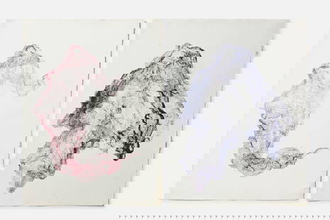
"Sketch showing Route Line of Spirit Levels from Jefferson City Mo. To Holliday, Kans" Lithograph Map Published 1896, Washington for "U.S. Coast and Geodetic Survey" Folds as issued. Rare. Paper Size: 16 x 11.5 inch (40 x 29cm) Good Condition
Buyer's Premium
- 22%
U S Coast Survey 1896 Map. Missouri & Kansas
Estimate $25 - $30
Shipping & Pickup Options
Item located in Chesterfield, ukSee Policy for Shipping
Payment

TOP