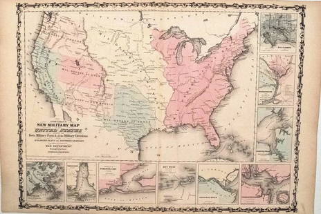
Johnston Map of U.S. 1844
Similar Sale History
View More Items in Maps & AtlasesRelated Maps & Atlases
More Items in American Maps & Atlases
View MoreRecommended Transportation & Travel Collectibles
View More


Item Details
Description
*** START PRICE IS THE RESERVE ***
[America] JOHNSTON, Alexander Keith (1804-1871).
United States and Texas.
Lithograph with original color.
London, 1844.
21 1/8" x 26 1/8" sheet.
Comparable: Old World Auctions, 2015 - $1,265.
This handsome and very detailed map of the eastern United States features the independent Republic of Texas. Typical of British maps of this period, the map is densely engraved with information including an incredible network of roads and trails, built and proposed railways, operational and proposed canals, and lighthouse locations. The territories of Wisconsin and Iowa are both depicted, with Iowa stretching between the Mississippi and Missouri Rivers and extending to the Canadian border. Texas is shown with its borders extending from the Rio Grande to the Arkansas, encompassing Santa Fe and even beyond Pike's Peak. All of the important settlements in Texas are noted including all the communities along the Rio Grande.
Buyer's Premium
- 20%
Johnston Map of U.S. 1844
Estimate $1,200 - $1,800
9 bidders are watching this item.
Shipping & Pickup Options
Item located in New York, New York, usOffers In-House Shipping
Local Pickup Available
Payment

TOP


![Map of U.S., 1846: *** START PRICE IS THE RESERVE *** [America] HAVEN & EMMERSON. Map of the United States and Mexico Including Oregon, Texas and the Californias. Engraved map with original hand color. New York, 1846. 1](https://p1.liveauctioneers.com/1968/163248/82424576_1_x.jpg?height=310&quality=70&version=1583340284)


