NEW YORK — Every collection benefits from the ownership and display of antique maps, whether in the home or an office environment. Jasper52 will present From Sahara to Serengeti: African Maps Sale on Tuesday, April 2 at 8 pm Eastern time exclusively at LiveAuctioneers.
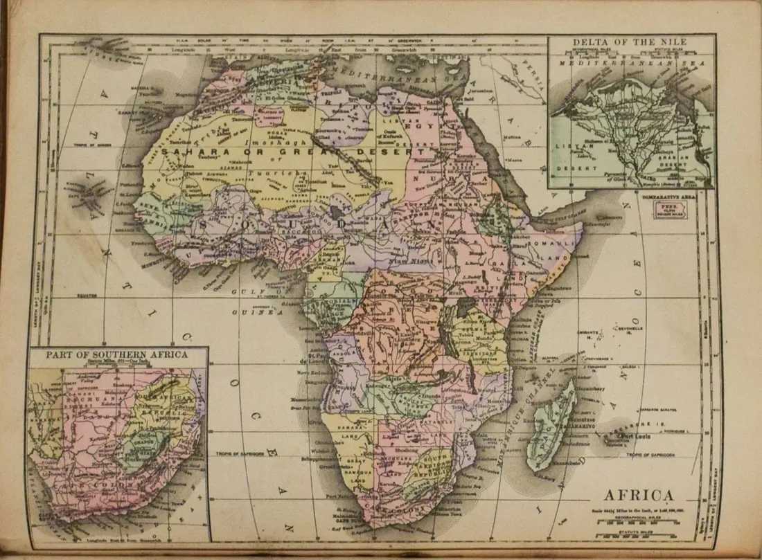
Samuel Augustus Mitchell (1792-1868) was an American publisher specializing in maps. His son Samuel Jr. continued the business and released this map of Africa in 1891, with color-coded countries and topography, rivers, lakes, and major cities. Measuring 8.2 by 10.6in, the map is estimated at $50-$60.
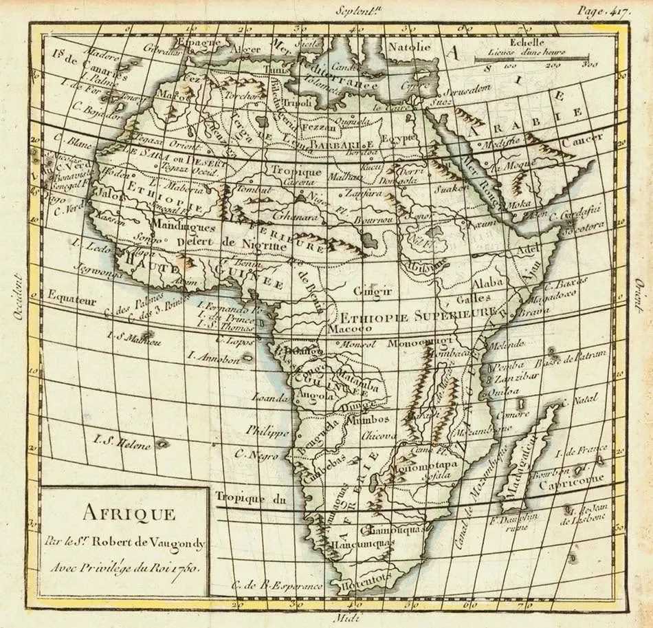
This 1850 map of Africa was published by the company founded by Gilles Robert de Vaugondy (1688–1766). It includes insets of the southern tip of Africa and the Nile delta. Countries are color-coded. Shown are topography, rivers, lakes, and major cities. It is estimated at $90-$110.
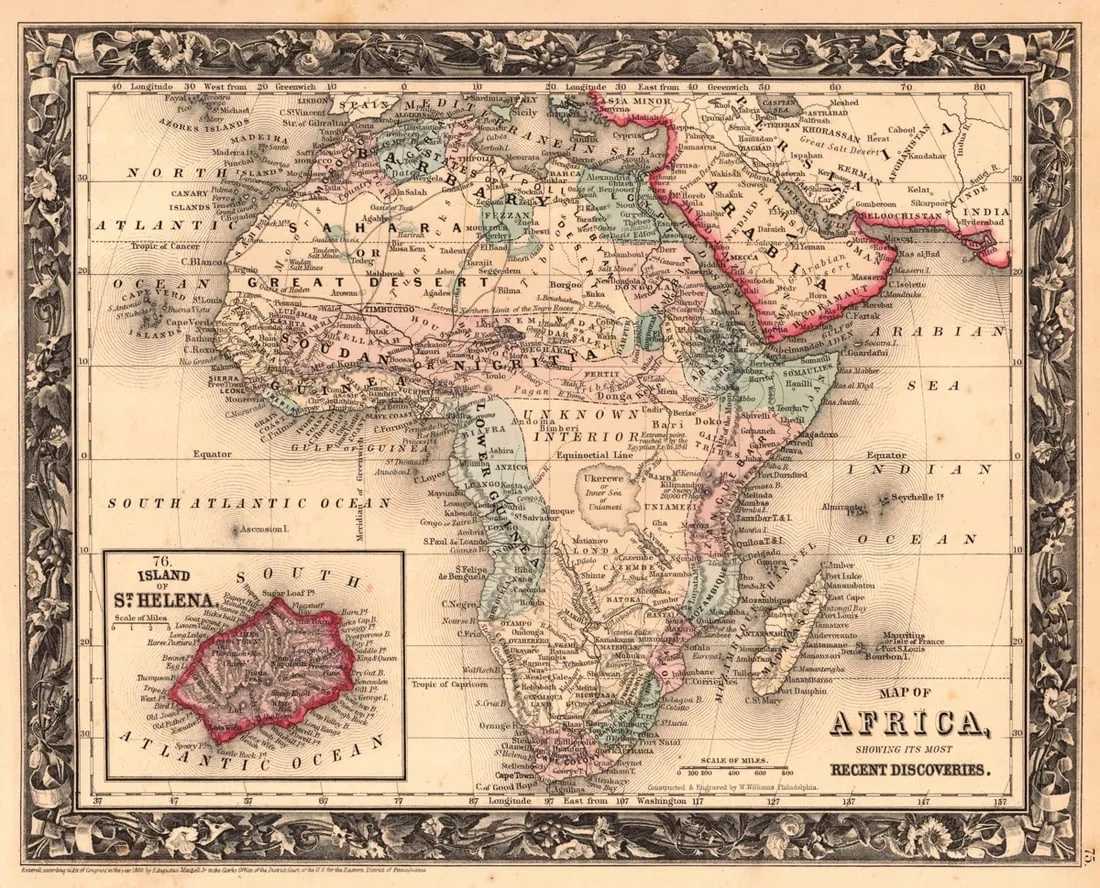
The final highlight is another Samuel Augustus Mitchell map of Africa dating to 1961 and titled Map of Africa, Showing Its Most Recent Discoveries. It was included in Mitchell’s New General Atlas and includes an inset map of the island of St. Helena. It is estimated at $60-$70.