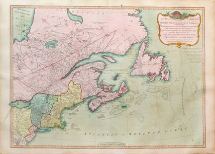
Monin Egypt Palestine Syria french colored map 1838
Similar Sale History
View More Items in Maps & AtlasesRelated Maps & Atlases
More Items in French Maps & Atlases
View MoreRecommended Transportation & Travel Collectibles
View More


Item Details
Description
Map of Egypt Palestine and Syria by Charles Victor Monin (1830-1880), colored engraving map from Atlas Classique de la Geographie Ancienne published in 1838 in Paris.
Charles Victor Monin was a french map publisher, he was one of the first cartographic printers in Europe to take advantage of the newly discovered lithographic engraving process.
Dimensions: 18 1/2" x 13"
Artist Name: Charles Victor Monin
Literature: Atlas Classique de la Geographie Ancienne published in 1838 in Paris
Medium: Original colored engraving
Circa: 1838
HANDLING and SHIPPING For USA $5.
FOR INTERNATIONAL SHIPPING, ask for an estimate.
Buyer's Premium
- 0%
Monin Egypt Palestine Syria french colored map 1838
Estimate $200 - $400
Shipping & Pickup Options
Item located in Bradenton, FL, usOffers In-House Shipping
Payment
Accepts seamless payments through LiveAuctioneers

Related Searches
TOP


![Manuscript Map of Givet, France on the Belgian Border: [Givet, France]. "Charlemont les deux Givets et la Couronne d'Haurs Pour servir au Projet de mil Sept cent trente sept" Fine manuscript plan in ink and colours on paper (no visible watermark), scale a](https://p1.liveauctioneers.com/1968/273926/143704769_1_x.jpg?height=310&quality=70&version=1672435208)


![Antique H/C Map EUROPE SOUS CHARLEMAGNE EN 814: EMPIRES D'OCCIDENT ET D'ORIENT: Antique 19th Century French Map EUROPE SOUS CHARLEMAGNE EN 814: EMPIRES D'OCCIDENT ET D'ORIENT [EUROPE UNDER CHARLEMAGNE IN 814: EMPIRES OF THE WEST AND EAST] by Charles V. Monin (French, 1830 - 1880)](https://p1.liveauctioneers.com/6084/330420/178181958_1_x.jpg?height=310&quality=70&version=1716391551)


![[FLAGS]. 31-star American parade flag. Ca 1850-1859.: [FLAGS]. 31-star American parade flag. Ca 1850-1859. 22 x 36 1/2 in. cotton flag with 31 printed stars, configured in a double medallion surrounding a much larger central star, that is haloed in both](https://p1.liveauctioneers.com/197/329785/177758218_1_x.jpg?height=310&quality=70&version=1715625218)


