James Cook - Map Cook's Strait in New Zealand
Similar Sale History
View More Items in Maps & AtlasesRelated Maps & Atlases
More Items in French Maps & Atlases
View MoreRecommended Transportation & Travel Collectibles
View More


Item Details
Description
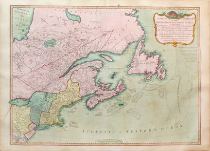
Engraved nautical map from the 1774 first French edition of the first map of New Zealand, illustrating Lieutenant James Cook's 1769 exploration of the passage between New Zealand's North and South islands. While Abel Tasman had charted parts of New Zealand in 1642, no European prior to Cook sailed through this passage on his second voyage of discovery (1772 - 1775). In particular, the chart details Queen Charlotte Sound (Totaranui) with depth soundings, rocks, and Endeavor's anchorage. Topography and vegetation are shown pictorially. Size: 35 cm x 34 cm.
Condition
Very good condition.
Buyer's Premium
- 23%
James Cook - Map Cook's Strait in New Zealand
Estimate $300 - $600
1 bidder is watching this item.
Get approved to bid.
Shipping & Pickup Options
Item located in Stockholm, Bromma, seOffers In-House Shipping
Payment

TOP


![Manuscript Map of Givet, France on the Belgian Border: [Givet, France]. "Charlemont les deux Givets et la Couronne d'Haurs Pour servir au Projet de mil Sept cent trente sept" Fine manuscript plan in ink and colours on paper (no visible watermark), scale a](https://p1.liveauctioneers.com/1968/273926/143704769_1_x.jpg?height=310&quality=70&version=1672435208)


![Entrée de Norton & Détroit de Bhering. Bering Strait Norton Sound BONNE 1790 map: TITLE/CONTENT OF MAP: [Cook 3e Voyage] Carte de l'entrée de Norton et du Détroit de Bhering, où l'on voit le Cap le plus Oriental de l'Asie et la pointe la plus Occidentale de l'Amé](https://p1.liveauctioneers.com/5584/326888/175994368_1_x.jpg?height=310&quality=70&version=1713903186)
![Entrée de Norton & Détroit de Bhering. Bering Strait Norton Sound BONNE 1788 map: TITLE/CONTENT OF MAP: [Cook 3e Voyage] Carte de l'entrée de Norton et du Détroit de Bhering, où l'on voit le Cap le plus Oriental de l'Asie et la pointe la plus Occidentale de l'Amé](https://p1.liveauctioneers.com/5584/326888/175994363_1_x.jpg?height=310&quality=70&version=1713903186)


![Carte des Isles des Amis. Friendly or Tonga Islands. Tongatapu. BONNE 1790 map: TITLE/CONTENT OF MAP: [Cook 3e Voyage] Carte des Isles des Amis // Plan du Havre de Tongataboo // Tabouai Island // Mangeea Island // Wateeoo Island [Cook's 3rd Voyage - Map of Friendly Islands (Tonga](https://p1.liveauctioneers.com/5584/326888/175994571_1_x.jpg?height=310&quality=70&version=1713903186)


