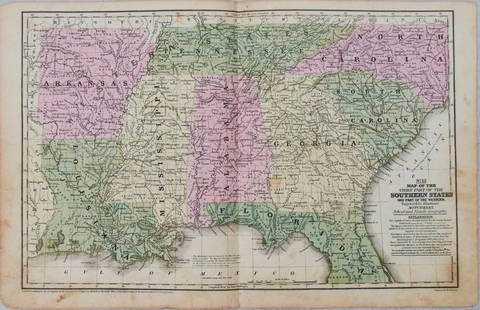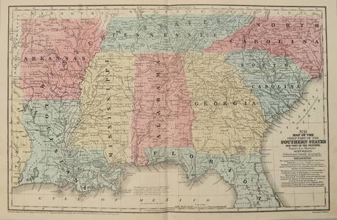
William Damerum, Map of the Southern Part of the State
Similar Sale History
Recommended Items


Item Details
Description
DAMERUM, William. Map of the Southern Part of the State of New York, including Long Island, the South, the State of Connecticut, part of the State of New Jersey and Islands adjacent. New York: Wm. Damerum, 1815. Engraved, original hand color in outline. Framed: 33 x 38 inches. Sheet size: 23 ½ x 28 ½ inches. This amazingly detailed map of the North East marks the end of the last battle in which the United States wrenched herself from British tyranny. Drawn and printed by legendary map maker William Damerum in 1815, this map depicts the U.S. at a time when the fledgling nation was just beginning to recover from the War of 1812; a conflict that rocked the states as they were still reeling from the American Revolution.
Buyer's Premium
- 25%
William Damerum, Map of the Southern Part of the State
Estimate $4,000 - $5,000
Shipping & Pickup Options
Item located in New York, NY, usSee Policy for Shipping
Payment

Related Searches
TOP


