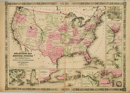
JOHNSON AND WARD MAP OF MISSOURI AND KANSAS CIRCA 1860
Similar Sale History
Recommended Items


Item Details
Description
Map of Missouri in the eastern one third of Kansas circa 1860. Counties in color and three vignettes including spearing fish and fire on the Prairie. Measures 17.75 x 26.5 inches, frame measures 27 x 35.5 inches.
Condition
Overall even toning, colors are faded, edges are dog-eared and torn.
Buyer's Premium
- 15%
JOHNSON AND WARD MAP OF MISSOURI AND KANSAS CIRCA 1860
Estimate $75 - $150
Shipping & Pickup Options
Item located in Lone Jack, MO, usSee Policy for Shipping
Payment

Related Searches
TOP


![1720 Strype Ward Map of Eastern portions of City of London -- Langborne Ward ? [on sheet with]: Title: 1720 Strype Ward Map of Eastern portions of City of London -- Langborne Ward ? [on sheet with] Candlewick Ward with its Division into Parishes. Corrected from the last Survey Cartographer: J St](https://p1.liveauctioneers.com/5584/327462/176400787_1_x.jpg?height=310&quality=70&version=1714507756)


