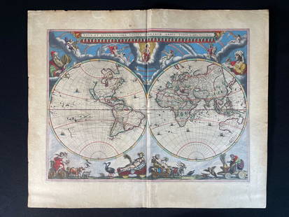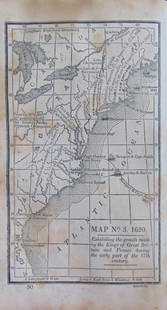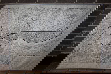
LATE 17TH C. FRENCH MAP OF THE NEW WORLD BY ALEXIS-HUBERT JAILLOT (1632-1712)
Similar Sale History
View More Items in Maps & AtlasesRelated Maps & Atlases
More Items in Maps & Atlases
View MoreRecommended Transportation & Travel Collectibles
View More


Item Details
Description
"L'Amerique Septentrionale divisee en ses Principale Partieas ou sont distingues les villes des autres, Les Etats suivant quils appartiement presenteme Francois, Castillans, Anglois, Suedois, Danois, Hollandois. Tiree les relationsde touts ces Nations par le S. Sanson, Geographe Ordinaire du Roy. Presentee a Monsigneur le Dauphin, Hubert Jaillot." Handcolored copperplate engraving based on a map published by Nicolas Sanson in 1650, published in Paris in 1694, having California as an island, germinal great lakes, Greenland, Iceland and British Isles upper right, all of Central America represented, top of Brazil. Housed in birdseye maple mitered frame, under glass, OS: 26 1/2" x 39 1/2", impression: 22 1/2" x 34 1/2", toned, two joined sheets, as issued.
Buyer's Premium
- 25%
LATE 17TH C. FRENCH MAP OF THE NEW WORLD BY ALEXIS-HUBERT JAILLOT (1632-1712)
Estimate $1,500 - $2,500
20 bidders are watching this item.
Shipping & Pickup Options
Item located in Thomaston, ME, usOffers In-House Shipping
Local Pickup Available
Payment
Accepts seamless payments through LiveAuctioneers

TOP


![Christopher Plantin - Illyricum. Ioan. Sambucus Ortelio: Map, Published after the Atlas "Theatrum Orbis Terrarum [1598]" our late 17th century copy ( page 102), in italian editing. Large sheet of the album format in plano (57 x 47 cm) in black and white ink](https://p1.liveauctioneers.com/856/175275/88313912_1_x.jpg?height=310&quality=70&version=1596234416)


![HAND COLORED MAP OF PERU & COUNTRY OF THE AMAZONS, 1747, BY EMANUEL BOWEN, FRAMED: A New And Accurate Map Of Peru And The Country Of The Amazones. Drawn From The Most Authentick French Maps &C. And Regulated By Astronomical Observations, London]: William Innys [et al.], 1747. A deta](https://p1.liveauctioneers.com/957/328836/177180798_1_x.jpg?height=310&quality=70&version=1715021458)


![[MAP]. TODESCHI, Pietro. [Nova et Acurata Totius Americae Tabula auct. G.I. Blaeu] America quarta: [MAP]. TODESCHI, Pietro. [Nova et Acurata Totius Americae Tabula auct. G.I. Blaeu] America quarta pars orbis quam plerunq, nuvum orbem appellitant primo detecta est anno 1492 a Christophoro Columbo...](https://p1.liveauctioneers.com/197/329395/177650542_1_x.jpg?height=310&quality=70&version=1715364962)


![[MAPS]. HOMANN, Johann Baptist, HOMANN HEIRS, and Georg Matthäus SEUTTER. [Composite Atlas].: [MAPS]. HOMANN, Johann Baptist (1663-1724), HOMANN HEIRS, and Georg Matthäus SEUTTER (1678-1757). [Composite Atlas]. [Nuremberg, Augsburg, and others: Homann Heirs and others, maps dated between](https://p1.liveauctioneers.com/197/329395/177650530_1_x.jpg?height=310&quality=70&version=1715364962)


