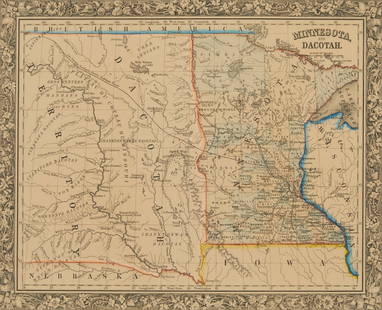
MAP, Mid-Atlantic USA, Reid
Similar Sale History
View More Items in Maps & AtlasesRelated Maps & Atlases
More Items in Maps & Atlases
View MoreRecommended Transportation & Travel Collectibles
View More


Item Details
Description
Maryland & Delaware. John Reid, The States of Maryland and Delaware, from the Latest Surveys, 1795 (dated). Black & White. This is the first state of this uncommon and early map of Maryland and Delaware with the "Wayland, Reid, & Smith" imprint beneath the bottom border. It was engraved by D. Martin for John Reid's rare American Atlas, which was also the atlas to accompany Winterbotham's An Historical, Geographical, Commercial, and Philosophical View of the United States of America. Derived from Samuel Lewis' 1794 map, this map extends as far north as Philadelphia and as far west as Fort Cumberland, with an inset that tracks the Potomac even farther west. Counties, towns and cities (including Washington and Baltimore), roads, and waterways are named, with some scattered topographical details. Portions of surrounding states are depicted but largely unengraved.
Condition
There is light offsetting, a couple of minor stains, and an archivally repaired centerfold separation at bottom. Grade: B+
Dimensions
14.2 x 17.1 in
Buyer's Premium
- 20% up to $5,000.00
- 15% above $5,000.00
MAP, Mid-Atlantic USA, Reid
Estimate $700 - $850
3 bidders are watching this item.
Get approved to bid.
Shipping & Pickup Options
Item located in Richmond, VA, usOffers In-House Shipping
Local Pickup Available
Payment
Accepts seamless payments through LiveAuctioneers

TOP


![[Maps] Gio. Ant. Magnini, Italia, 1620: [Maps] Gio. Ant. Magnini, Italia, 1620, Giovanni Antonio Magnini. Italia, data in luce da Fabio suo figliuolo al Serenissimo Ferdinado Gonzaga Duca di Matoua edi Monserrato etc. Bologna, for Sebastian](https://p1.liveauctioneers.com/188/326797/176317457_1_x.jpg?height=310&quality=70&version=1713847031)
![[Maps] Martin Zeiler, Itinerarium Italiae, 1640: [Maps] Martin Zeiler, Itinerarium Italiae, 1640, Martini Zeilleri. Itinerarium Italiae Nov-Antiquae: oder, Raiss-Beschreibung durch Italien, Matthaus Merian, Frankfurt, 40 plates, most double-page, in](https://p1.liveauctioneers.com/188/326797/176317459_1_x.jpg?height=310&quality=70&version=1713847031)


![[MAP]. TODESCHI, Pietro. [Nova et Acurata Totius Americae Tabula auct. G.I. Blaeu] America quarta: [MAP]. TODESCHI, Pietro. [Nova et Acurata Totius Americae Tabula auct. G.I. Blaeu] America quarta pars orbis quam plerunq, nuvum orbem appellitant primo detecta est anno 1492 a Christophoro Columbo...](https://p1.liveauctioneers.com/197/329395/177650542_1_x.jpg?height=310&quality=70&version=1715364962)


