


Done
New York, NY, United States
Auction Details
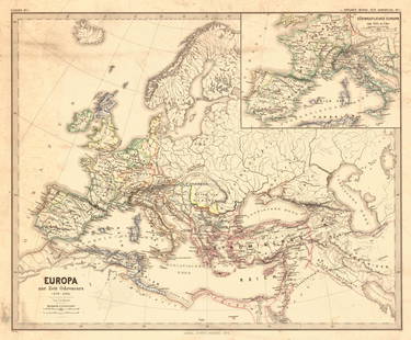
Antiquarian Maps of Europe
Explore both land and sea with this array of maps of Europe and the United Kingdom. With this focused yet diverse auction, discover a rare 17th century hand colored map of Anglo Saxon Britain, or revel in unique view of the Netherlands mislabeled as Belgium. Not only will these maps serve as decorative pieces, but they also will reveal innumerable ways to view our world.
Auction Curator:
Steve Kovacs
Maps ExpertLot Number: Lowest
24


![Antique Rail Road Map of Central Europe, 1870: Title/Content of Map: Rail Road Map of Central EuropeDate Printed: 1870-08-25Cartographer: ANONYMOUSPublisher/Place: THE ADVANCE [NEWSPAPER] 1870-08-25 CHICAGO Size: Folio – 14.50 H x 20.50 W](https://p1.liveauctioneers.com/5584/115996/59594918_1_x.jpg?height=310&quality=70&version=1517965654)

View:
24
Auction Details

Bid Increments
PriceBid Increment
$0$1
$10$5
$100$10
$200$20
$500$50
$1,000$100
$2,000$200
$5,000$500
$10,000$1,000
$20,000$2,000
TOP