


Item Details
Description
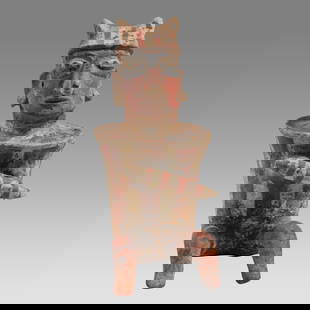
Comparative World Population Government Chart
Hand Colored. Exhibiting the Comparative Size Population Form of Government and Number of Square miles in each of the Principle Empires, Kingdos etc of the Globe ...
Cartographer: E. Huntington
Publisher H & F J Huntington
Dated: 1830
Dimensions: 11 x 8"
Condition Report Good plus.
Subject References: 108F Early Maps
Buyer's Premium
- 25%
Comparative World Population Government Chart
Estimate US$150 - US$200
Starting Price
US$90
or 4 payments of $22.50 with 
Get approved to bid.
Shipping & Pickup Options
Item located in Otisville, NY, USOffers In-House Shipping
Payment
Accepts seamless payments through LiveAuctioneers
Auctioneer Announcement
Review our Saturday Auction

Spring Hudson Valley Estates Auction
Otisville, NY, USA


Recommended Items


![Discorso Intorno alla carta da navigare. PORCACCHI. World navigational map 1590: CAPTION PRINTED BELOW PICTURE: Discorso Intorno alla carta da navigare [Navigational chart of the World] DATE PRINTED: 1590 IMAGE SIZE: Approx 20.5 x 29.5cm, 8.25 x 11.75 inches (Medium) TYPE: Antique](https://p1.liveauctioneers.com/5584/332390/179263132_1_x.jpg?height=310&quality=70&version=1717528223)


Related Searches
TOP