


Sanson - Map of Florida (encompassing most of Southeast North America)
0 Sold
Similar Sale HistoryUnlock All Sale Prices
Sold
Sold
Sold
Sold
Sold
Sold
Sold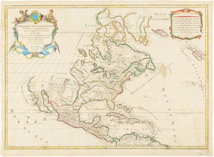
Sold
Sold
Sold
Sold
Sold
Sold
Sold![Homann. Amplissimae Regionis Mississipi. c1720.: [Map/America] Homann, Johannes Baptist. Amplissimae Regionis Mississipi. Nuremberg, c.1720. Hand colored copper-engraved map. Homann's important and widely disseminated map of the southeast of North A](https://p1.liveauctioneers.com/179/268856/140616121_1_x.jpg?height=310&quality=70&version=1668545725)
Sold
Sold
Sold
Sold
Sold
Sold
Sold
Sold
Sold
Upcoming SalesView All


![[Maps & Atlases] A New Map of North America, with the West India Islands... (1 of 2)](https://p1.liveauctioneers.com/65/332523/179335173_1_x.jpg?height=282&quality=70&version=1717709447)

![[MAPS]. A group of 8, incl. 5 maps of North America, one of the western hemisphere, & 2 engravings. (1 of 0)](https://p1.liveauctioneers.com/dist/images/placeholder.jpg?height=282&quality=70)


![PEARY'S COPY OF AN EARLY NORTH AMERICAN MAP. PEARY, ROBERT E. 1856-1920.] DOBBS, ARTHUR. 1689-17... (1 of 3)](https://p1.liveauctioneers.com/1043/333441/180036747_1_x.jpg?height=282&quality=70&version=1718642562)
![[Maps & Atlases] Seutter, Matth(ias).: Novus Orbis sive America... (1 of 2)](https://p1.liveauctioneers.com/65/332523/179335174_1_x.jpg?height=282&quality=70&version=1717709447)


TOP