


Done
New York, NY, United States
Auction Details
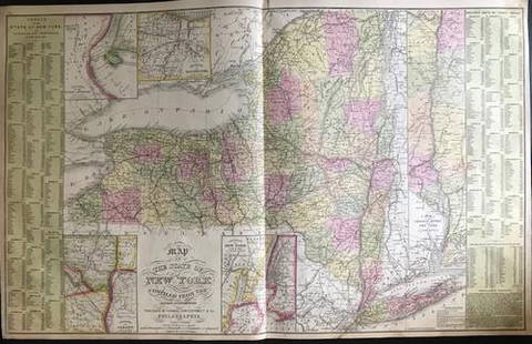
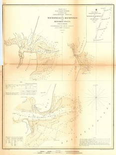
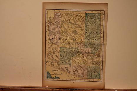
16th-20th Century Antiquarian Maps
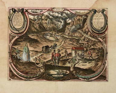
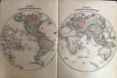
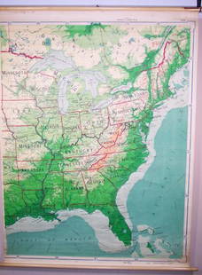
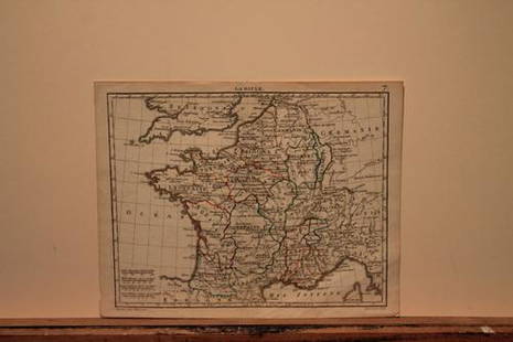
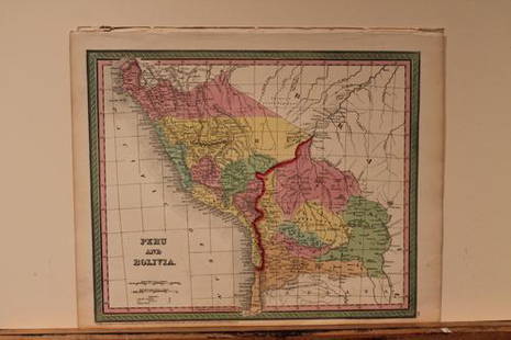
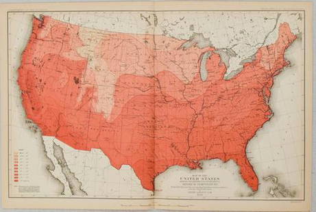
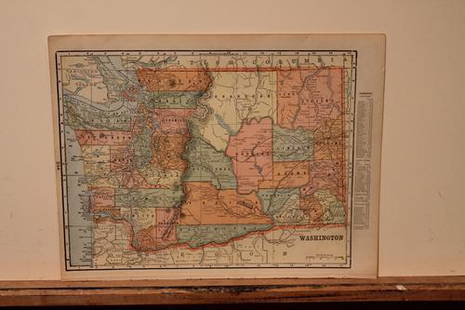
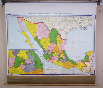
Explore both land and sea with this array of maps, which preserves the geography of nearly every region imaginable. Unlike modern maps, these original engravings trace borders as they evolved throughout history. Discover centuries-old views of every corner of America or a map of Solfatara near Naples from 1580! Not only will these maps serve as decorative pieces, but they also will reveal innumerable ways to view our world.
Auction Curator:
Steve Kovacs
Maps ExpertLot Number: Lowest
24


![1760 Thornton Plan of the London Wards of Billingsgate: Title: 1760 Thornton Plan of the London Wards of Billingsgate and Faringdon -- Plan of Billingsgate Ward and Bridgeward Within, Divided into Parishes from a New Survey [on sheet with] Plan of](https://p1.liveauctioneers.com/5584/201031/101737045_1_x.jpg?height=310&quality=70&version=1618954819)


View:
24
Auction Details

Bid Increments
PriceBid Increment
$0$1
$10$5
$100$10
$200$20
$500$50
$1,000$100
$2,000$200
$5,000$500
$10,000$1,000
$20,000$2,000
TOP