


Done
New York, NY, United States
Auction Details
MAPS FROM A SELLER'S PRIVATE COLLECTION
The sale of a map dealer's private collection continues with most items never offered before in any venue. All maps are authentic, original vintage documents mostly from the mid to late 19th century. There is only one reproduction--the extremely scarce 1781 Chart & Plan of New York by Lodeg that appeared in Valentine's Magazine in 1870. Even the reproduction is so scarce it has become a highly prized collector’s item.
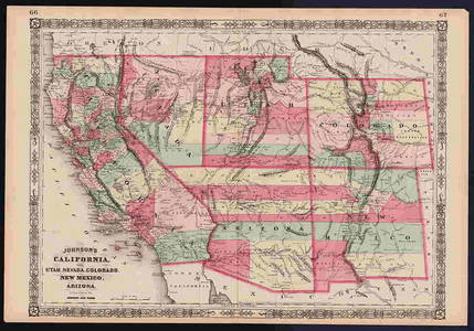
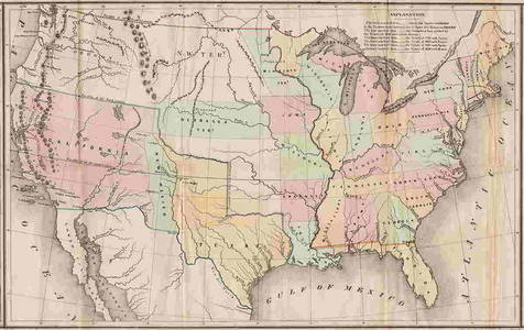
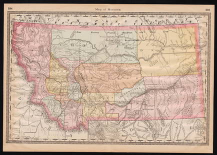
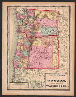
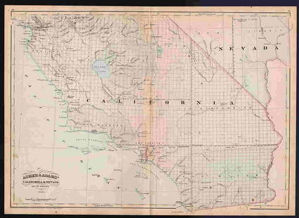
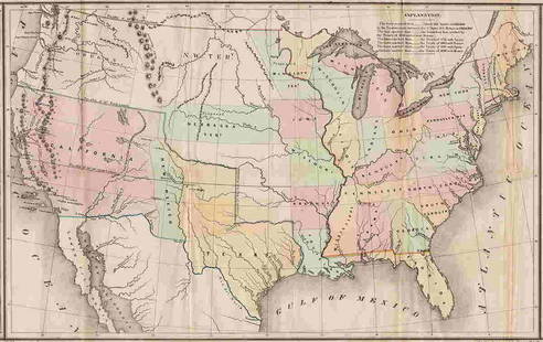
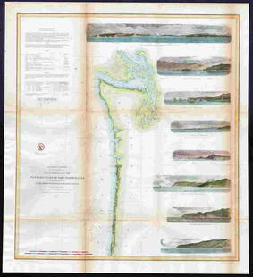
Featured in the sale is Gilman's "Tables" map, a large 1848 map that is an important document in the history of America’s westward expansion. Examples of it are rarely seen at auction. Also featured is a scarce example of Stebbins' 1868 Pacific States (the photos barely do it justice). It will be a gem in someone's collection. The third featured item is an 1855 U. S. Coastal map of the West Coast, with eight professionally hand-colored vignettes. The renderings are as fine as you'll see with this map.
This sale features maps from two atlases that are one-of-a-kind or nearly so: Colton's 1890 General Atlas (Colton's final edition, and the only copy presently known to exist) and the super scarce 1910 Cram’s Standard American Railway System Atlas, Cram's final railway atlas and one of only two we know about. There are also maps here from other scarce Cram’s atlases, including the last Cram atlas featuring hand-colored maps (1882), and Cram's Bankers' & Brokers' Railroad Atlas (1898).
Three maps from the rare first edition/first state of the "Physikalischer Atlas" by Berghaus appear in this auction. First state maps from this atlas are rarely seen in any venue. Selections from the very scarce 1848 edition of Mitchell’s New Universal Atlas are included, as well as several collectible early Johnson atlas maps, including two great Civil War era maps, "Vicinity of Richmond" and "Johnson's Military Map." Both maps are Very Good or better condition.
Lot Number: Lowest
24


View:
24
Auction Details

Bid Increments
PriceBid Increment
$0$1
$10$5
$100$10
$200$20
$500$50
$1,000$100
$2,000$200
$5,000$500
$10,000$1,000
$20,000$2,000
TOP