


 Weekly: JewelryBonhamsSponsored.Your ad here?
Weekly: Jewelry
Bonhams
Sponsored.Your ad here?


 DesignChristie'sSponsored.Your ad here?
Design
Christie's
Sponsored.Your ad here?


DesignChristie'sSponsored.Your ad here?
Design
Christie's
Sponsored.Your ad here?


Item Details
Description
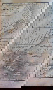
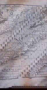
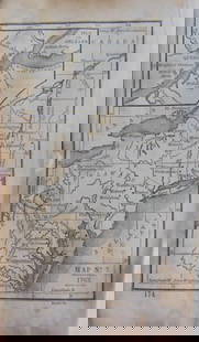
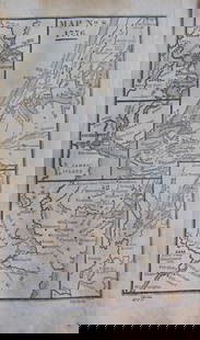
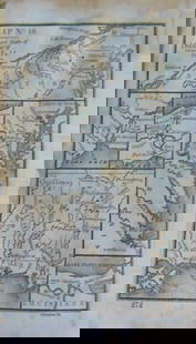
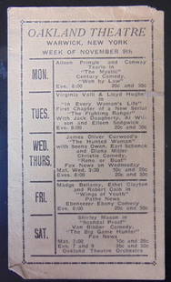
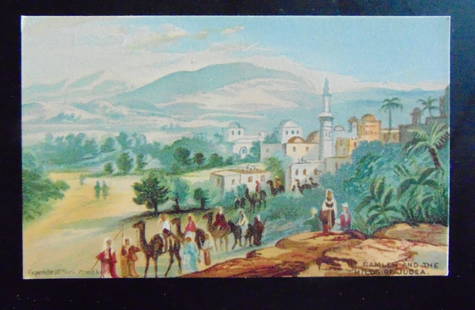
Wanderings & Locations of the (American) Aborigines
Map No. 1. Showing Indian Tribes. Map shows the Atlantic Ocean as "Salt Water Lake"
Cartographer: B. F. Waitt
Dated: Circa 1840
Dimensions: 6 x 4"
Condition Report Toning. Rounded left tips. Text on Verso. Good
Subject References: 220
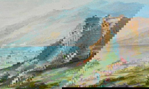
Map No. 1. Showing Indian Tribes. Map shows the Atlantic Ocean as "Salt Water Lake"
Cartographer: B. F. Waitt
Dated: Circa 1840
Dimensions: 6 x 4"
Condition Report Toning. Rounded left tips. Text on Verso. Good
Subject References: 220
Buyer's Premium
- 25%
Wanderings & Locations of (American) Aborigines
Estimate US$200 - US$300
Starting Price
US$100
or 4 payments of $25.00 with 
Get approved to bid.
Shipping & Pickup Options
Item located in Otisville, NY, USOffers In-House Shipping
Payment
Accepts seamless payments through LiveAuctioneers
Auctioneer Announcement
American Prints on Memorial Day

Spring Hudson Valley Estates Auction
Otisville, NY, USA


Recommended Items


![Handbook of American Indians, North of Mexico, 2 Vols. [182219]: 1907 and 1910 Handbook of Indians North of Mexico. Edited by Hodge. Encyclopedia style listing of notable persons, locations with some photos, tribes, minerals etc.Gilt bindings have some wear.](https://p1.liveauctioneers.com/dist/images/placeholder.jpg?height=310&quality=70)


Related Searches
TOP