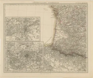
![[MAPS AND PRINTS]. DE L'ISLE, Gulliaume (1675-1726). Eight Maps of France by Gulliaume: [MAPS AND PRINTS]. DE L'ISLE, Gulliaume (1675-1726). Eight Maps of France by Gulliaume De L'Isle. Paris: De L'Isle et al., 1712-1745. Including:Carte de France. Paris: De L'Isle, 1731. Sight approxima](https://p1.liveauctioneers.com/928/421136/234320834_1_x.jpg?height=310&quality=70&version=1781294369)
No upcoming results for "mitchell-408"
But we've sold 8715 before. Follow this search to get notified as soon as more arrive.


You May Also Like
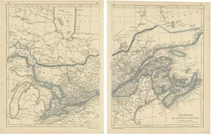
![[MAPS AND PRINTS].¬†D'ANVILLE, Jean Baptiste Bourguignon (1697-1782). Amérique: [MAPS AND PRINTS]. D'ANVILLE, Jean Baptiste Bourguignon (1697-1782). Amérique Septentrionale. Paris: d'Anville, 1746. Four sheets joined in two horizontal segments matted under plexi. Sight appro](https://p1.liveauctioneers.com/928/421136/234320828_1_x.jpg?height=310&quality=70&version=1781294369)
![[MAPS] 1790s Yazoo Land Scandal "Tennessee Company" Hand Drawn Map: BEAUTIFUL HAND-DRAWN MAP SHOWING "WASHINGTON DISTRICT" (THE STATE OF FRANKLIN) AND THE "TENNESSEE COMPANY" FORMED BY THE SECRET "COMBINED SOCIETY" RESPONSIBLE FOR THE YAZ](https://p1.liveauctioneers.com/7226/422185/235035214_1_x.jpg?height=310&quality=70&version=1781916990)
$100
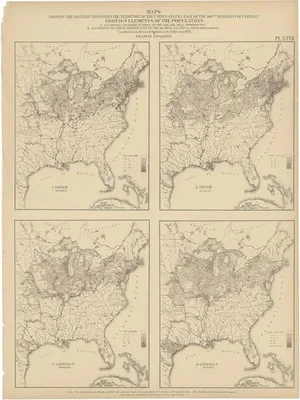
![[Civil War]. Military Map of the United States and Territories Showing the Location of Military: [Civil War]. Military Map of the United States and Territories Showing the Location of Military Posts, Arsenals, Navy Yards, and Points of Entry. Philadelphia: P.S. Duval & Son, 1861. 12mo. Engraved f](https://p1.liveauctioneers.com/197/423392/235637830_1_x.jpg?height=310&quality=70&version=1783023069)
$200

$200

$100


Similar Items on
Explore similar finds from our sister marketplace, Chairish
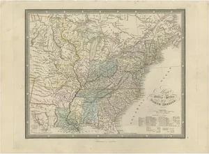
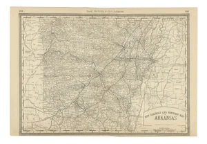
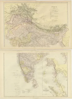
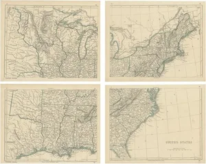
8715 past auction results for "mitchell-408"
Browse a record of outcomes from past auctions, including sale prices and unsold items.
Crescent City Auction GalleryNew Orleans, LA

Crescent City Auction GalleryNew Orleans, LA

Crescent City Auction GalleryNew Orleans, LA

Crescent City Auction GalleryNew Orleans, LA

Crescent City Auction GalleryNew Orleans, LA

Crescent City Auction GalleryNew Orleans, LA

Crescent City Auction GalleryNew Orleans, LA

Crescent City Auction GalleryNew Orleans, LA

Crescent City Auction GalleryNew Orleans, LA

Crescent City Auction GalleryNew Orleans, LA

Crescent City Auction GalleryNew Orleans, LA

Crescent City Auction GalleryNew Orleans, LA

Crescent City Auction GalleryNew Orleans, LA

Crescent City Auction GalleryNew Orleans, LA

Crescent City Auction GalleryNew Orleans, LA

Crescent City Auction GalleryNew Orleans, LA

Crescent City Auction GalleryNew Orleans, LA

Crescent City Auction GalleryNew Orleans, LA

Crescent City Auction GalleryNew Orleans, LA

Crescent City Auction GalleryNew Orleans, LA

Crescent City Auction GalleryNew Orleans, LA

Dane Fine ArtPhiladelphia, PA

Millea Bros LtdBoonton, NJ

Jasper52New York, NY
TOP