Arader Galleries December 2023 Auction 2023-12-09 Auction - 189 Price Results - Arader Galleries in NY - Page 7
LiveAuctioneers Logo

Audubon Aquatint, White HeronMaria Sibylla Merian Original Watercolor, Flowers in a Chinese vaseValk Wall Map of the Americas, MAGNIFICENT AND QUITE POSSIBLY UNIQUE COPY
Done
New York, NY, United States
Auction Details

Arader Galleries December 2023 Auction

Audubons, Natural History Watercolors, Engravings and Lithograph, Rare Maps, Rare Books, Furniture & Assorted Americana.
Lot Number: Lowest
24
Ughi Wall Map of Venice, 1739: UGHI, Ludovico (Active c. 1700-1740). [Venice] Iconografica rappresentazione della inclita città di Venezia consacrata al reggio serenissimo domino veneto. Engraved map. Venice: 1703 (Second State,
0146: Ughi Wall Map of Venice, 1739Est. $25,000-$35,000Lot Passed
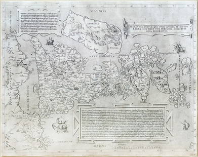
George Lily Map of Britain, 1558: LILY, George (Fl.1528-1559). Britanniae insulae quae nunc Angliae et Scotiae regna continet cum Hibernia adiacente nova descriptio. (The British Isles, comprising two kingdoms, England and Scotland
0147: George Lily Map of Britain, 1558Est. $15,000-$25,000Lot Passed
Pigafetta Map of Africa, 1598: [Africa] PIGAFETTA, Filippo (1533-1604). Tabulam hanc Aegypti. Engraved map. From Jan Huygen Van Linschoten's Intinerario. London, 1598. 22 1/2" x 16 3/8" sheet, 34" x 27 1/2" framed. Lovely example
0148: Pigafetta Map of Africa, 1598Est. $10,000-$15,000Lot Passed
Sold
Munster Woodcut Map of Asia: MUNSTER, Sebastian (1488-1552). Die Laender Asie... Woodcut. Basel, 1544-1572 from Cosmographia Universalis. 12 1/2" x 14 5/8" sheet. This is one of the earliest maps of the whole continent of Asia
0150: Munster Woodcut Map of AsiaEst. $3,000-$5,000
See Sold Price
Sold
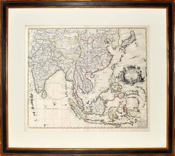
Visscher Map of South East Asia: VISSCHER, Nicolas (1618-1679). Indiae Orientalis, nec non Insularum Adiacentium Nova Descriptio. Engraved map with great original hand color in full. Amsterdam, c. 1698. 20 1/2" x 24 1/8" sheet.
0151: Visscher Map of South East AsiaEst. $1,200-$1,800
See Sold Price
Sold
Homman Heirs Map of Batavia: HOMANN HEIRS (18th Century). Der Hollaendisch - Ostindianischen Companie Weltberuhmte Haupt-Handels und Niederlags-Stadt Batavia in Asien auf dem Grossen Eyland Java. Engraved map with original hand
0152: Homman Heirs Map of BataviaEst. $2,000-$3,000
See Sold Price
Waldseemuller / Ptolemy Map of Asia: WALDSEEMULLER, Martin (1473-1520), after PTOLEMAEUS, Claudius (After 83- c.168 AD). Septima Asie Tabula [Kazakhstan and the Caspian Sea]. Woodcut. Strasbourg, 1513. 17 1/2" x 22 3/4" sheet.
0153: Waldseemuller / Ptolemy Map of AsiaEst. $1,500-$2,500Lot Passed
Sold
Senex Map of India and China: SENEX, John (1678-1740). A New Map of India and China… Engraving with original hand color in outline. London: East India Company, c. 1721. 19 1/4" x 22 3/4" plate.
0154: Senex Map of India and ChinaEst. $800-$1,200
See Sold Price
Sold
Berry World Map, 1680: BERRY, William (1669-1708). A Mapp of All the World. Engraved map with original hand color in outline. London: Berry, 1680. 23 1/2" x 37" sheet, 34 1/2" x 48 1/2" framed. THE ENGLISH SANSON, showing
0155: Berry World Map, 1680Est. $6,000-$9,000
See Sold Price
Sold
Van Der Aa World Map, 1713: VAN DER AA, Peter (1659-1733). Planisphere Terrestre... Engraved map from Nouveau Theatre du Monde. Leiden, c. 1713. 21 7/8" x 25 3/4" sheet. Comparable: Arader Galleries, 2016 - $7,320. Van der
0156: Van Der Aa World Map, 1713Est. $6,000-$8,000
See Sold Price
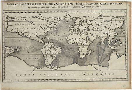
Kircher World Map, 1665: KIRCHER, Athanasius (1602-1680). Tabula Geographico-Hydrographica Motus Oceani, Currentes, Abyssos, Montes Igniuomos in Universo Orbe Indicans... Engraved map. Amsterdam, 1665. 14 1/2" x 22 5/8"
0157: Kircher World Map, 1665Est. $3,000-$4,000Lot Passed
Sold
DU Val World Map, 1668: DU VAL, Pierre (1618–1683). Planisphere ou carte generale du monde. Engraved map by Cordier, with original hand color in outline. Paris: Chez l'Auteur, 1668 (or later). 18 3/4" x 24" sheet.
0158: DU Val World Map, 1668Est. $2,500-$3,500
See Sold Price
Sold
Bleau Map of New France: BLAEU, Willem Janszoon (1571-1638). Extrema Americae versus Boream, ubi Terra Nova / Nova Francia. Engraved map with original hand color. Amsterdam, 1662. 21" x 25" sheet. This handsome map of the
0162: Bleau Map of New FranceEst. $2,500-$3,500
See Sold Price
Sold
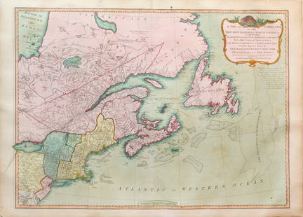
Van Keulen Map of the Grand Bank, Canada: VAN KEULEN, Gerard (1678-1726). Nouvelle Carte Marine du Grand Banq de Terra Neuff a Grand Point... Engraved map with original hand color. Amsterdam, 1686 [c. 1728]. 21 3/8" x 25 1/4" sheet. This
0163: Van Keulen Map of the Grand Bank, CanadaEst. $1,000-$1,500
See Sold Price
Sold
Ogilby / Montanus Map of the Americas: OGILBY, John (1600-1676) / MONTANUS, Arnoldus (c. 1625–1683). Insulae Americanae in Oceano Septentrionali cum Terris adiacentibus. Engraved map. London, 1671 (Second state). 16" x 20 1/2" sheet,
0167: Ogilby / Montanus Map of the AmericasEst. $1,000-$2,000
See Sold Price
Sold
Montanus early view of St. Augustine, Florida: MONTANUS, Arnoldus (c. 1625–1683). Pagus Hispanorum in Florida. Engraving. Amsterdam: Jacob van Meurs, 1671. 12" x 14 1/2" sheet, 30" x 24" framed. A striking example of Montanus' important early
0168: Montanus early view of St. Augustine, FloridaEst. $1,200-$2,500
See Sold Price
Sold
Montanus early view of Jacksonville, Florida: MONTANUS, Arnoldus (c. 1625–1683). Arx Carolina. Engraving. Amsterdam: Jacob van Meurs, 1671. 12" x 14 1/2" sheet, 30" x 24" framed. This is a lively view of Fort Caroline in present-day
0169: Montanus early view of Jacksonville, FloridaEst. $1,200-$2,500
See Sold Price
View:
24
TOP